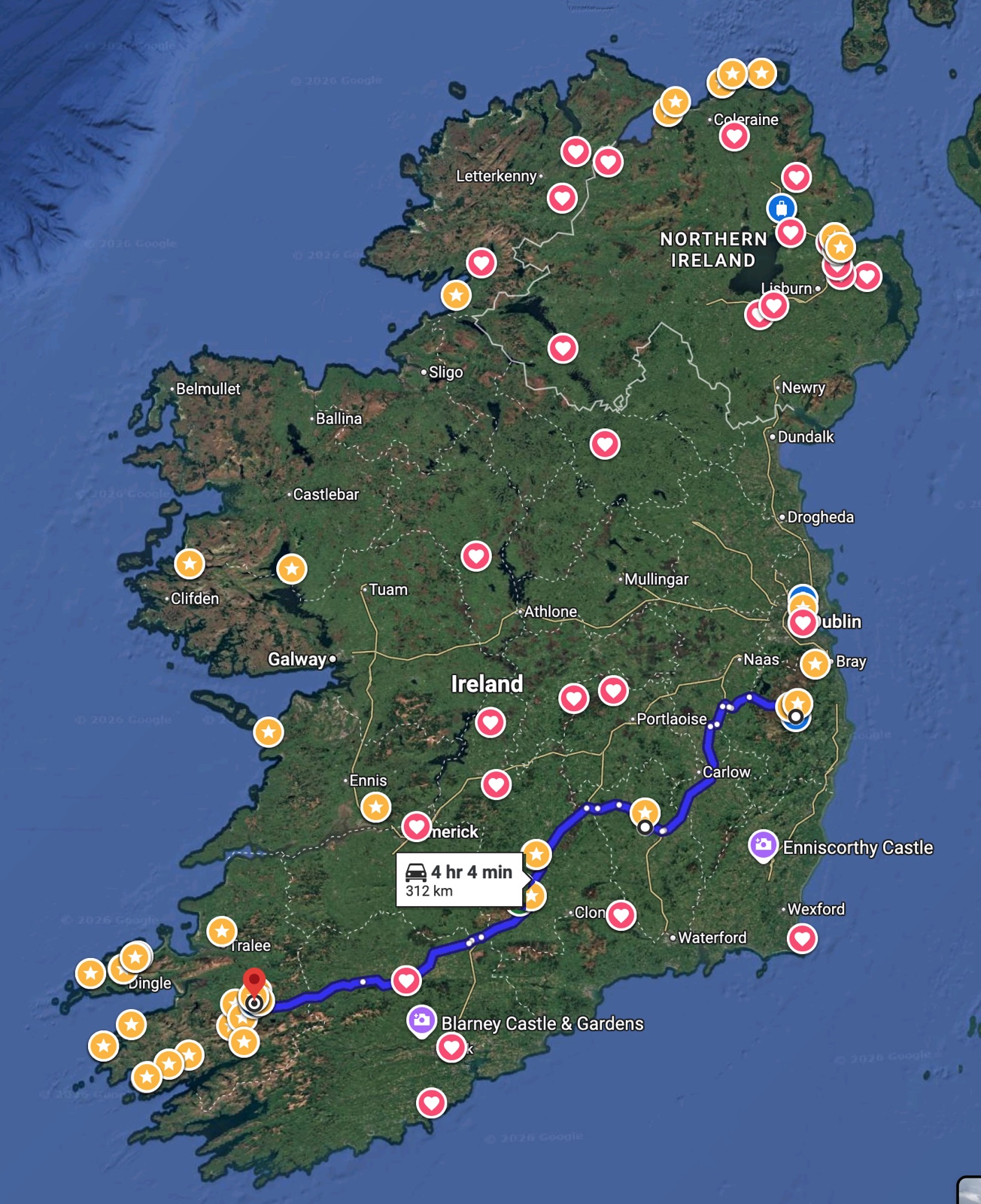
On Saturday, August 15, 2026, we traveled all along the southern half of Ireland from Glendalough on the east to Killarney on the west, making several stops along the way, as shown in the following map.
Incidentally, before heading to Ireland, I wrote a utility to crawl my tree on FamilySearch's Family Tree, out to 12 generations, to find out where my Irish ancestors were from. Most of them were in the 1700s or 1600s, but they were from all over Ireland, as indicated by the red hearts in this map. (According to this little analysis, my ancestors are about 5% Irish. Katelyn beat that with about 10%.)
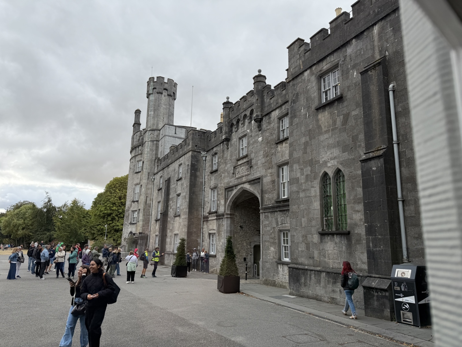
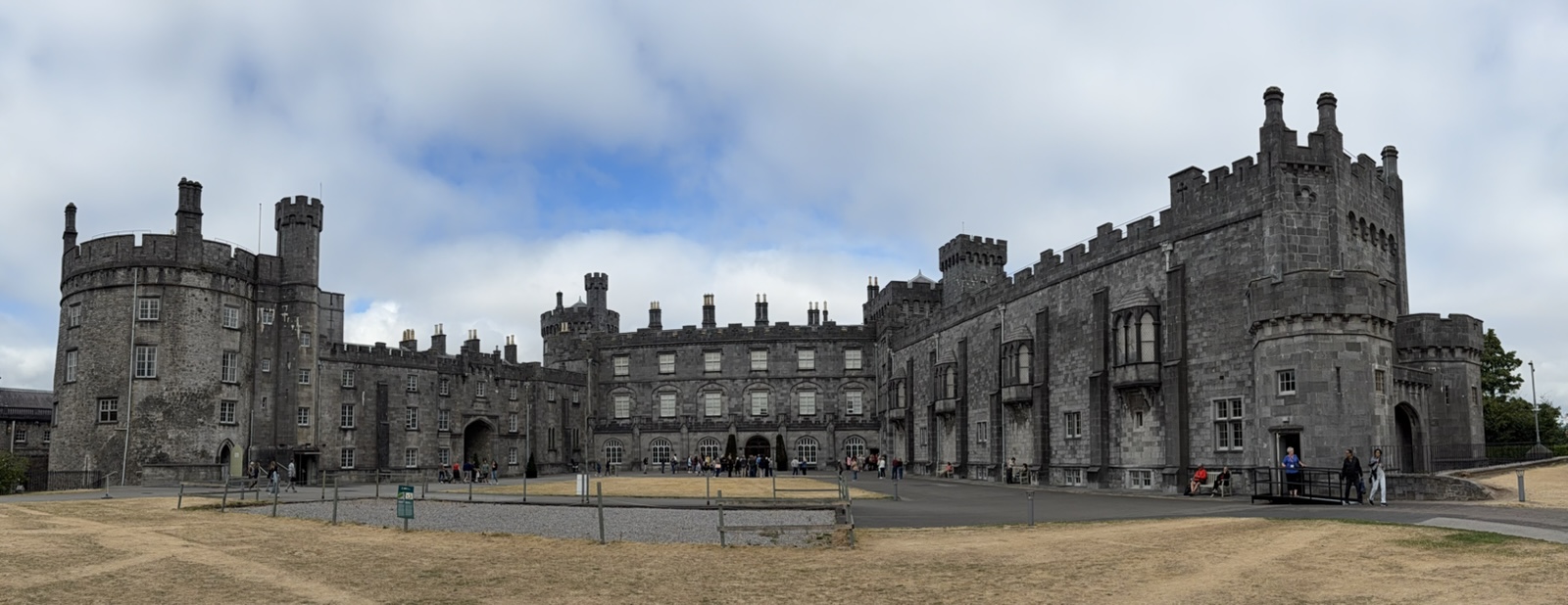
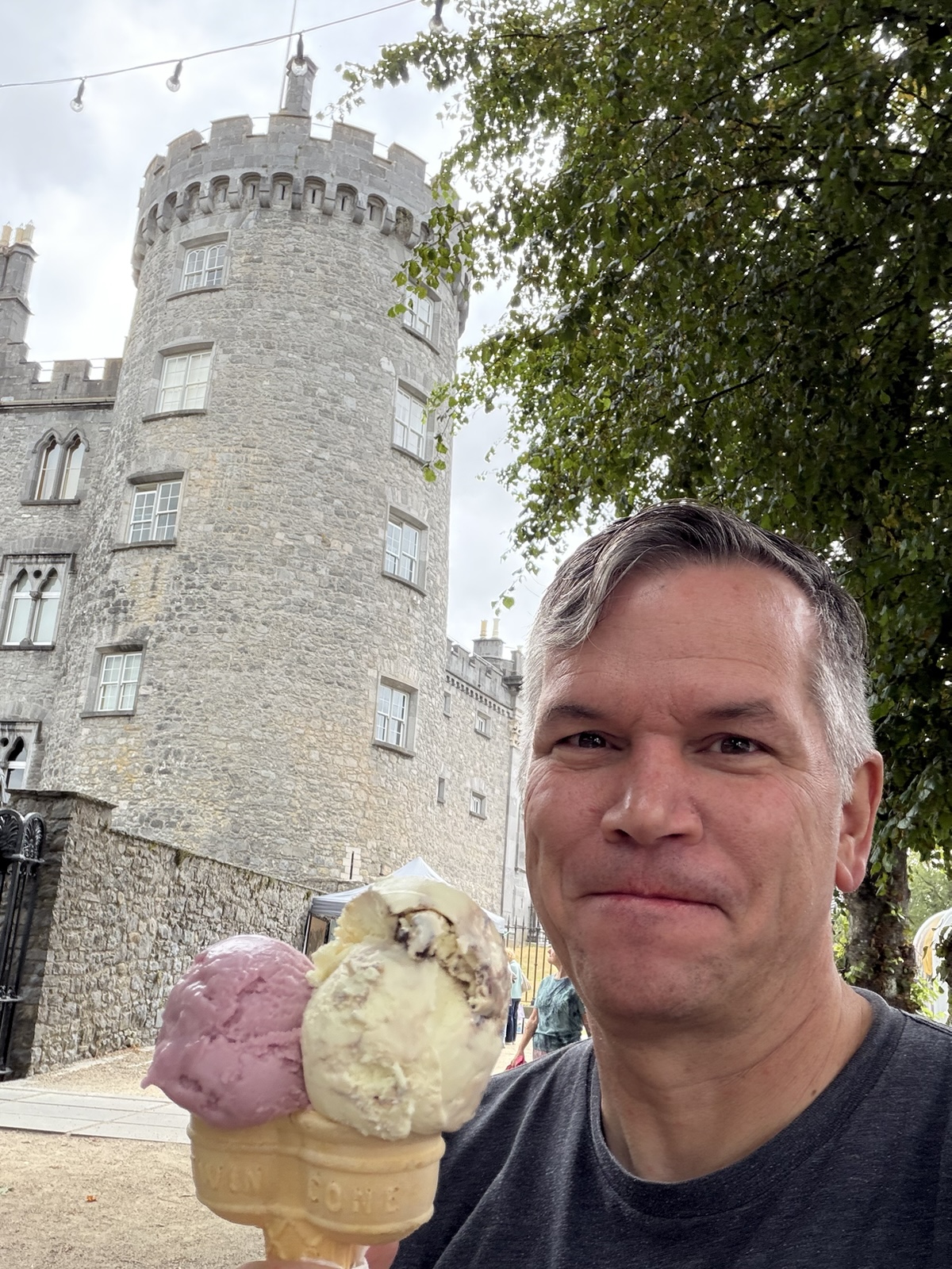
Our first stop was at Kilkenny Castle. It was built in 1260 and was a symbol of Norman occupation. In 1967, Arthur Butler, 6th Marquess of Ormonde, sold the castle for £50 to the Castle Restoration Committee for the people of Kilkenny. It is now managed by the Office of Public Works and open to the public.
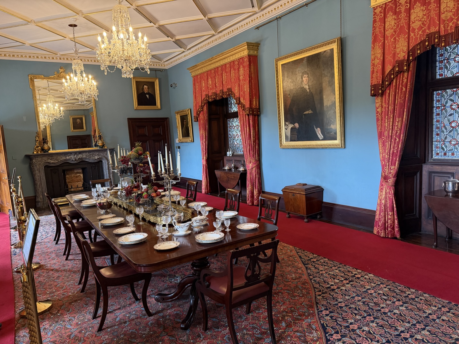
It had some pretty fancy stuff inside from the olden days.
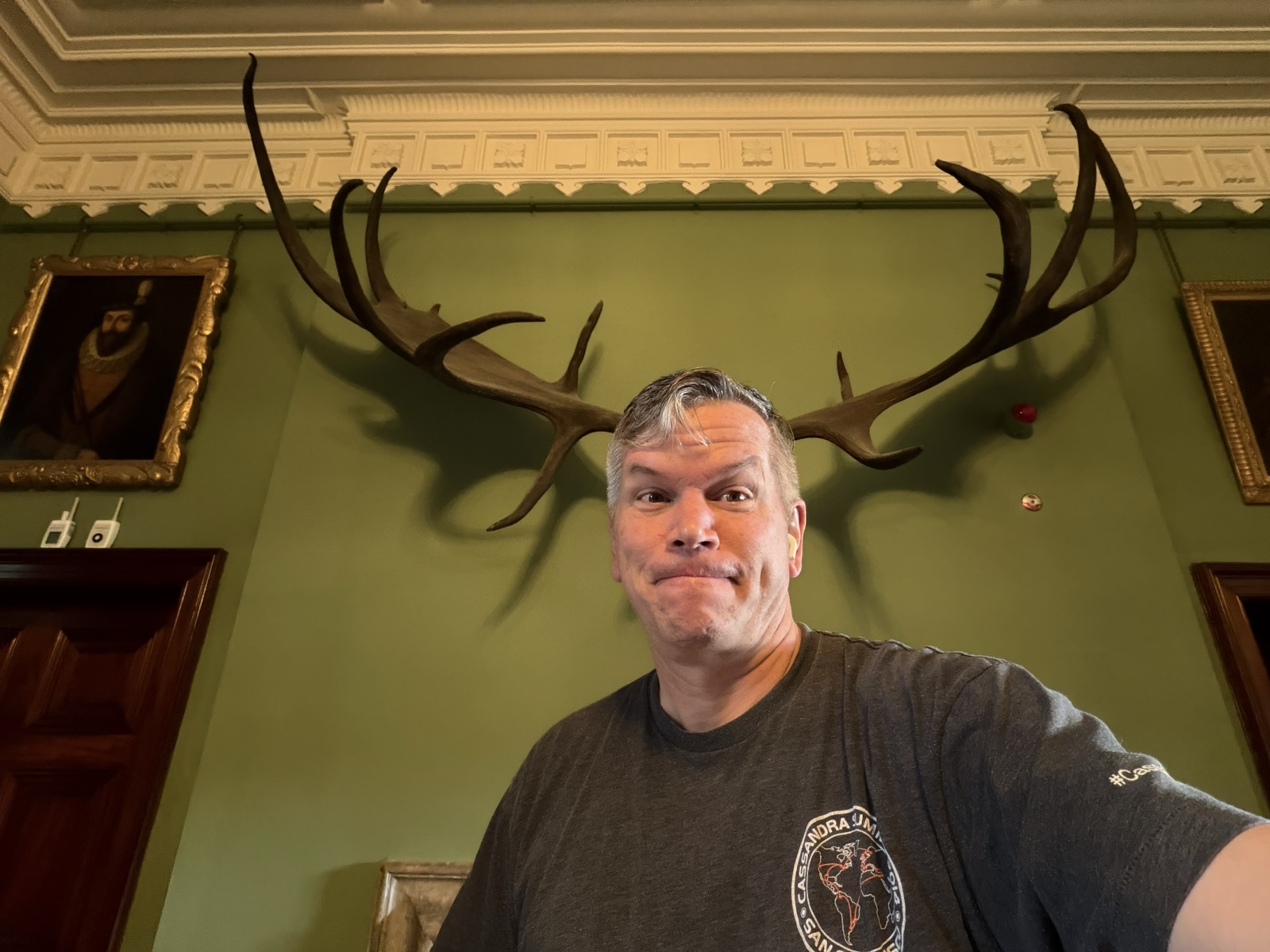
Always gotta love the antler shot.
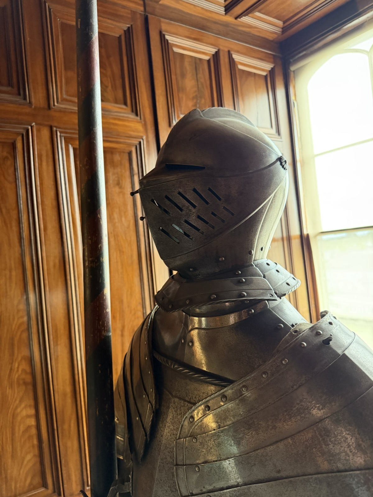
I learned recently that helmets like these have a little bump under the eyes so that a sword glancing off the face will go up and over the eyeholes instead of right on in.
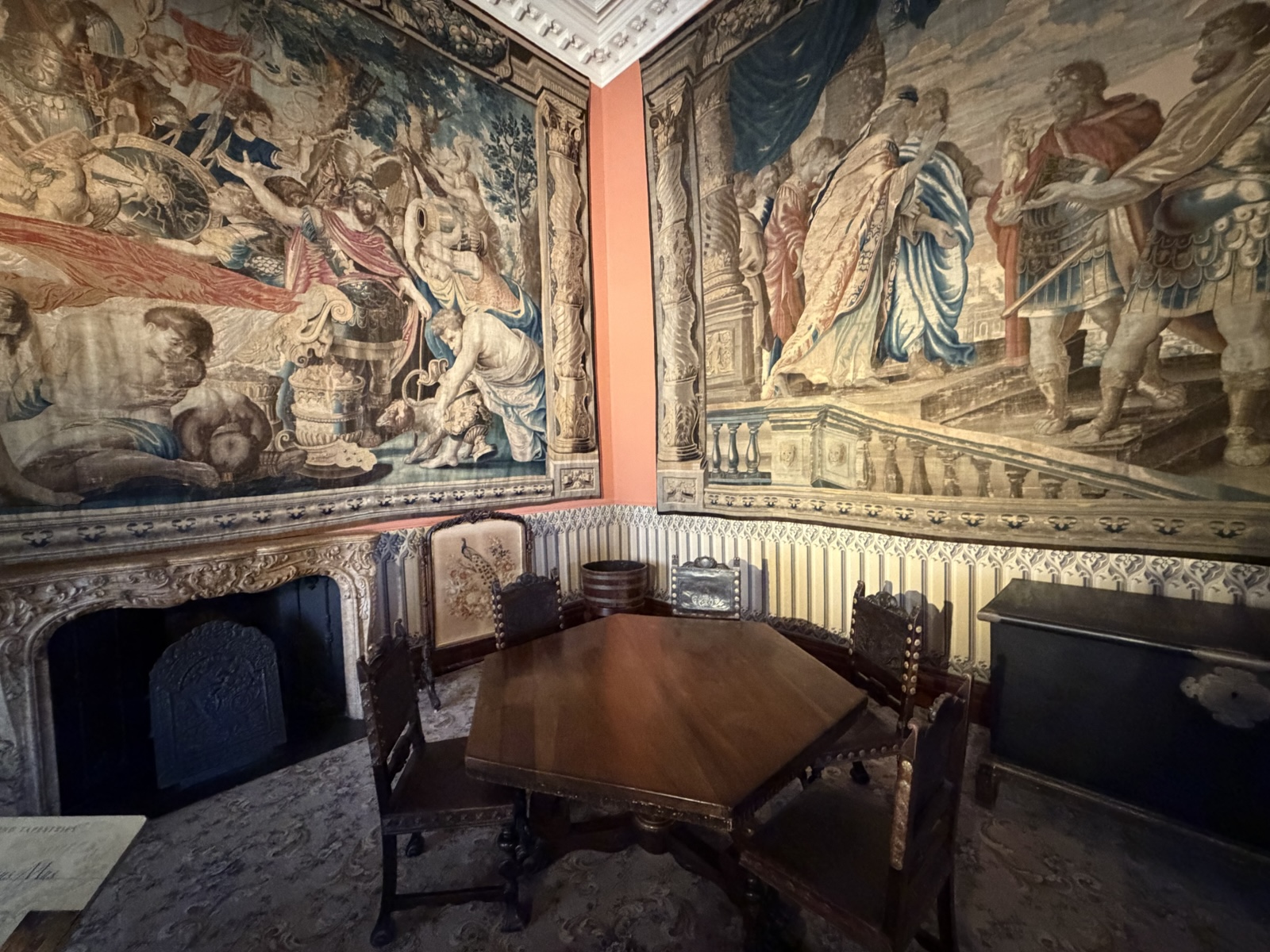
These are old tapestries that were originally more vibrant in color, but are still amazing in that someone could have such a picture in mind and then make this huge tapestry of it. I also thought the hexagonal table was cool.
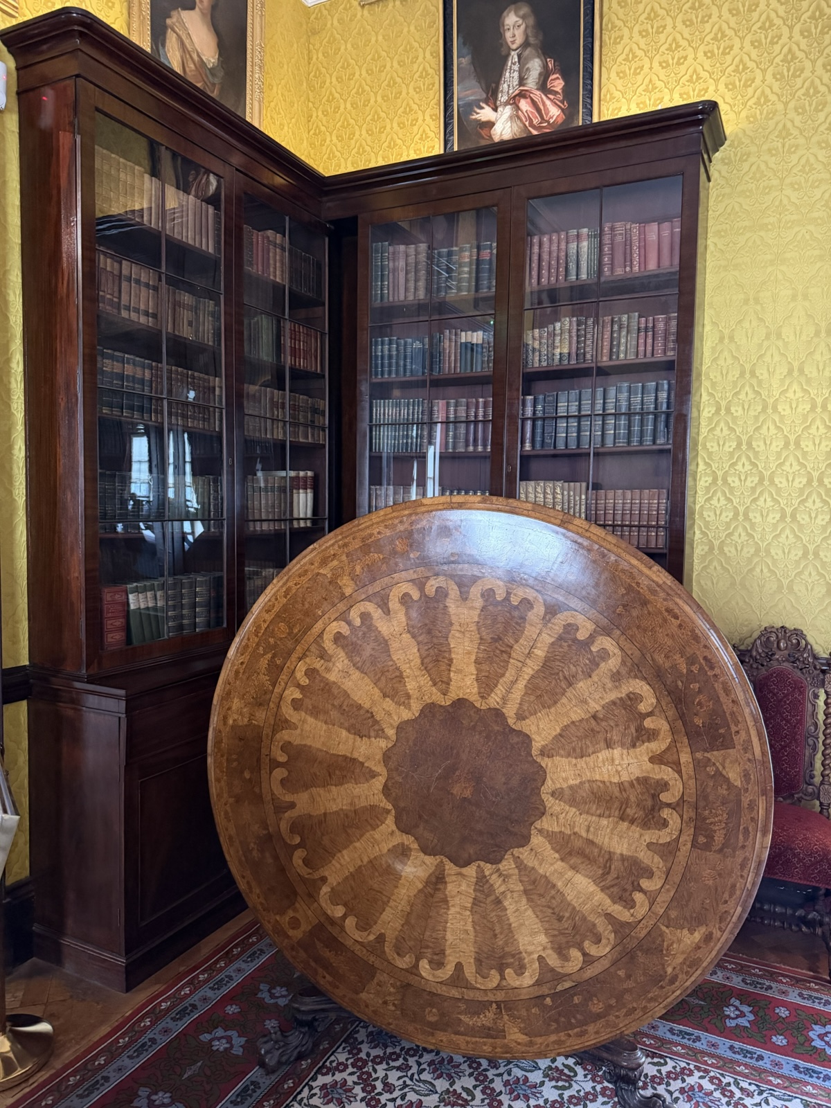
This fancy table folds up sideways for storage, which I thought was cool.
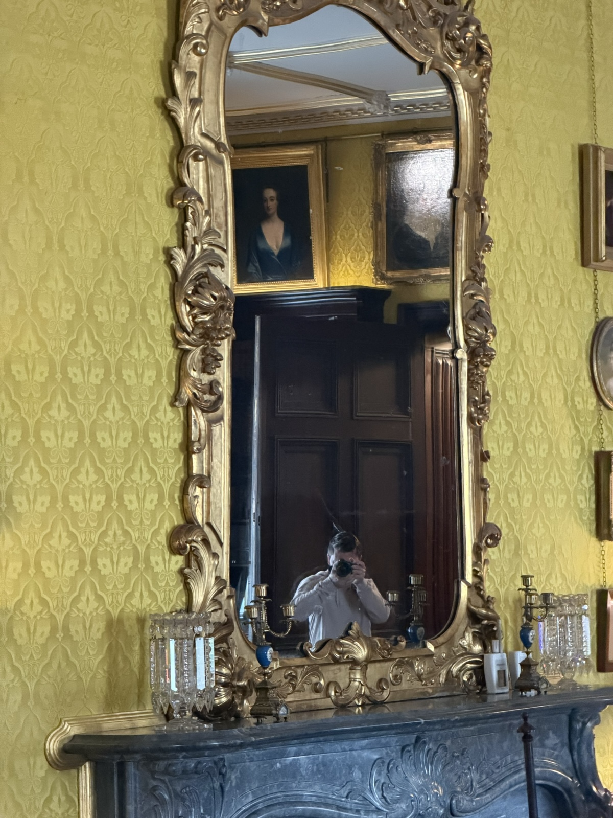
I could see Jared taking pictures from across the room.
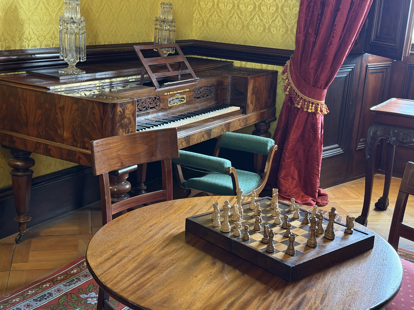
I liked the chess and piano in this picture.
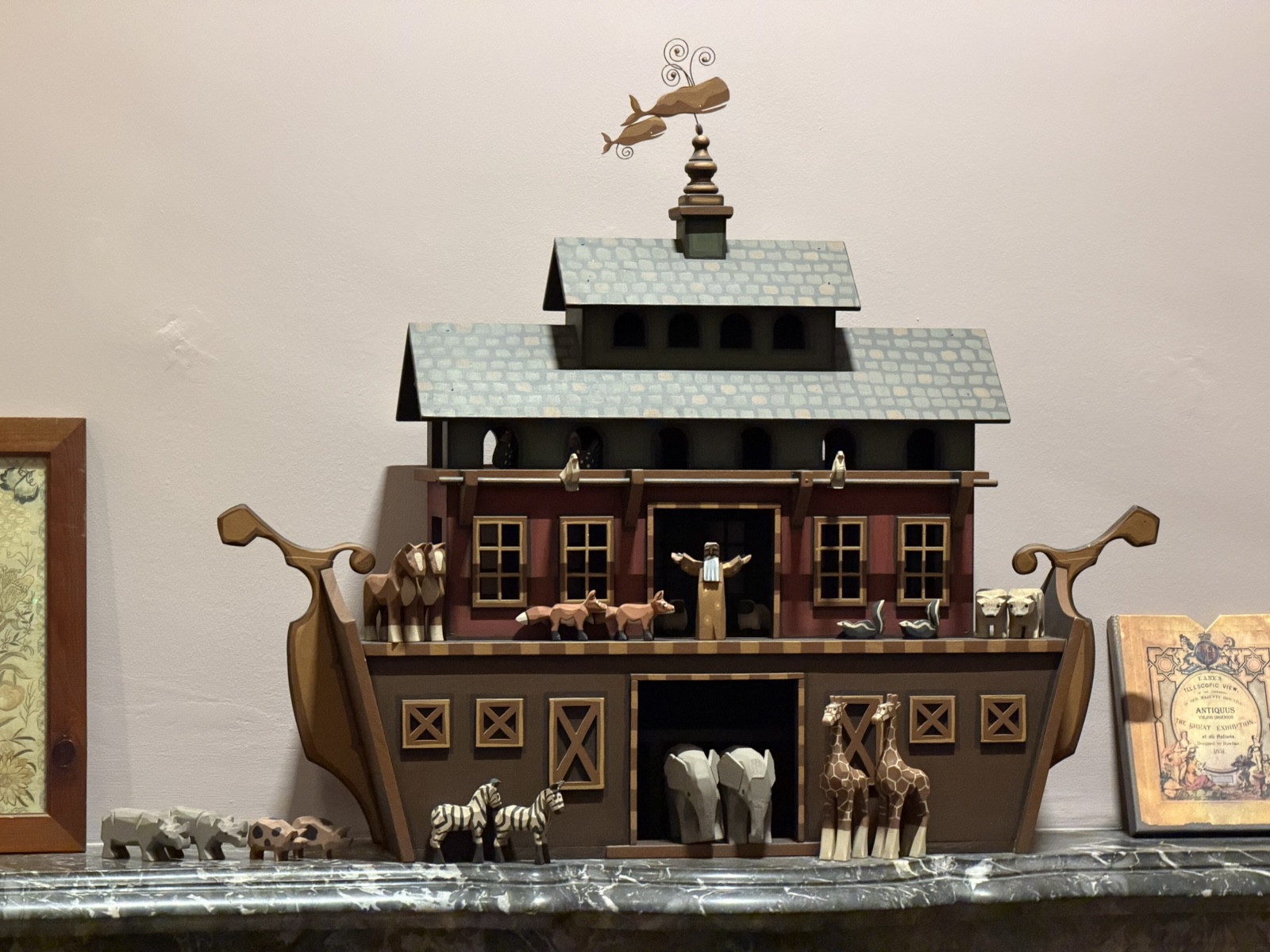
And the Noah's Ark was cute.
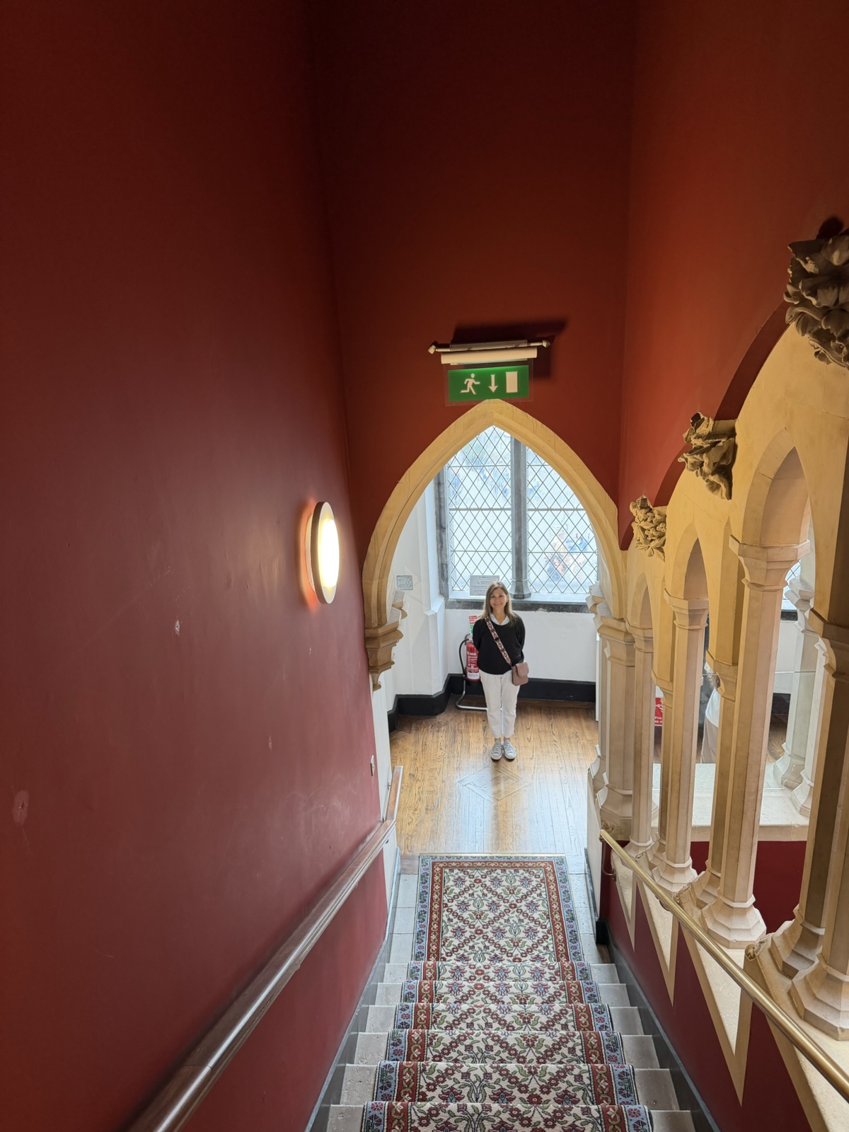
The Moorish Staircase was built in the mid-19th century, drawing inspiration from the Moorish palaces of southern Spain.
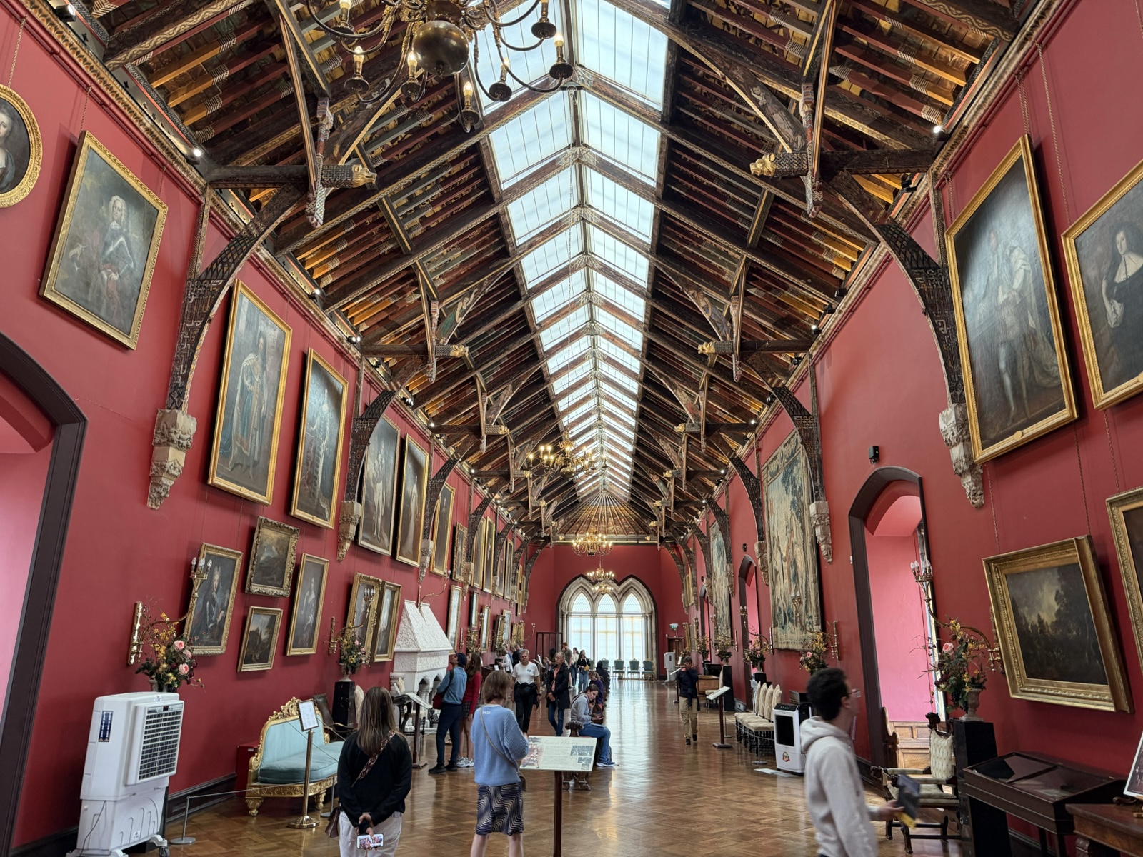
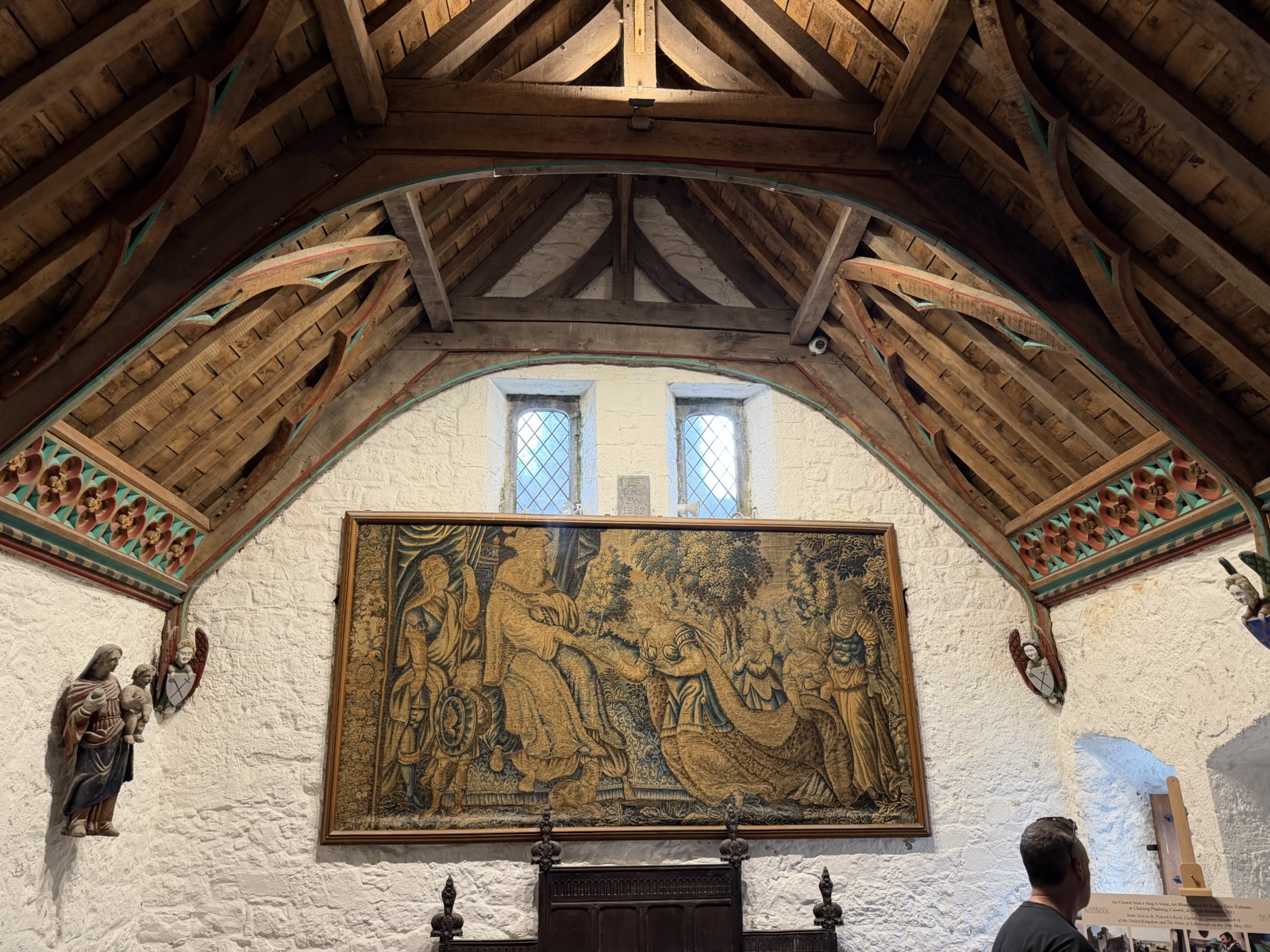
The picture gallery was also built in the 19th century on an earlier foundation. The fancy roof was added later to replace the leaky flat one.
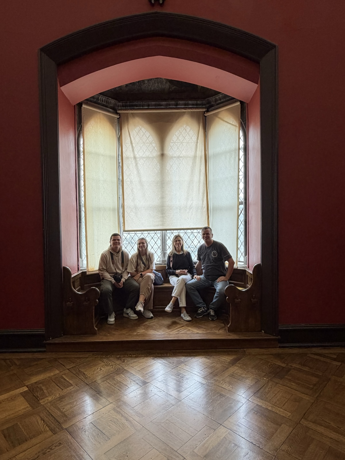
Here we all are in a tosh nook in the Picture Gallery. ("Tosh" is the name I made up for this approximate color.)
Kilkenny Castle was pretty cool. And as a bonus, it was the start of "Irish Heritage Week," so it was free to enter all the castles that day.
We saw a few ads around town for a pony auction, and Linette wanted to go check it out.
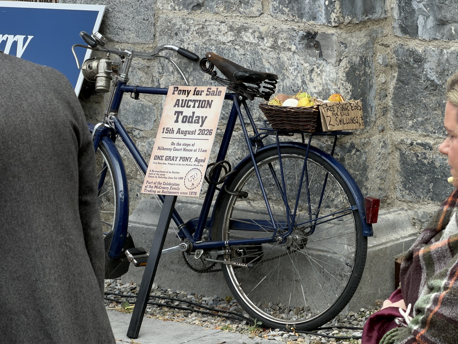
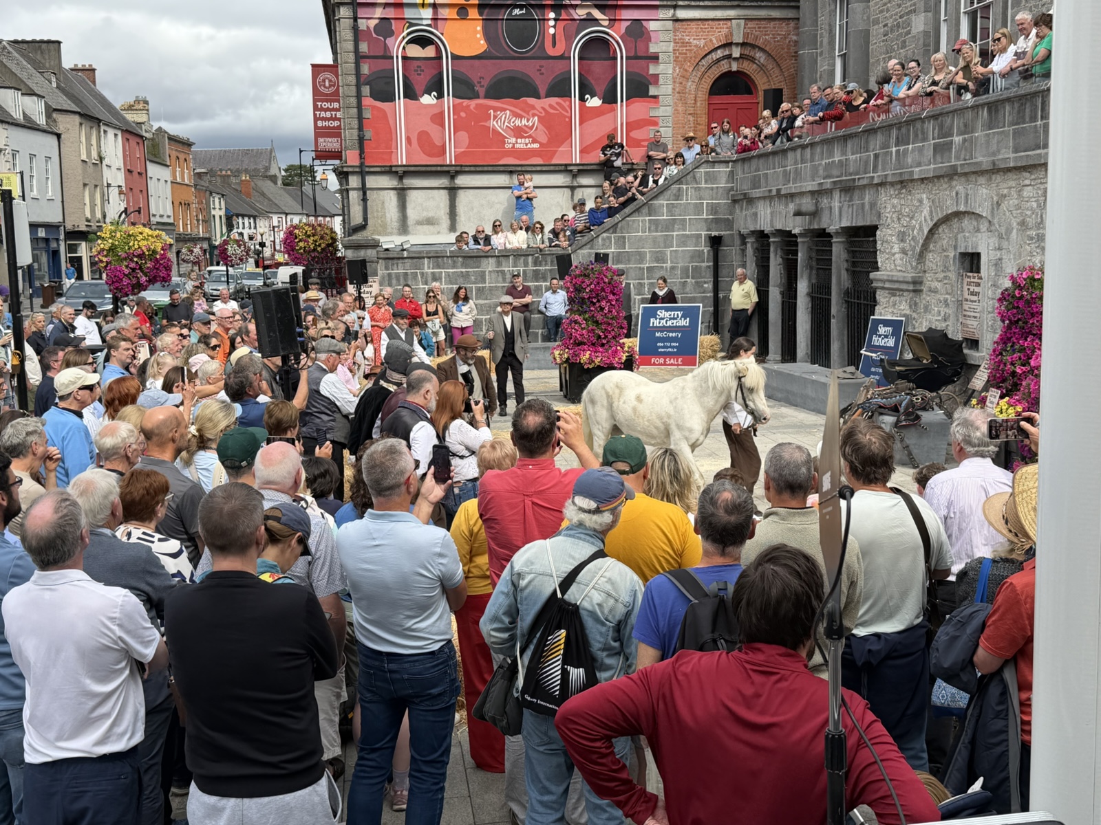
It turned out to be a little dramatized play put on by a couple dozen people. It was about a lady who couldn't pay the rent, and the grumpy owner who said she that would have to sell her precious pony.
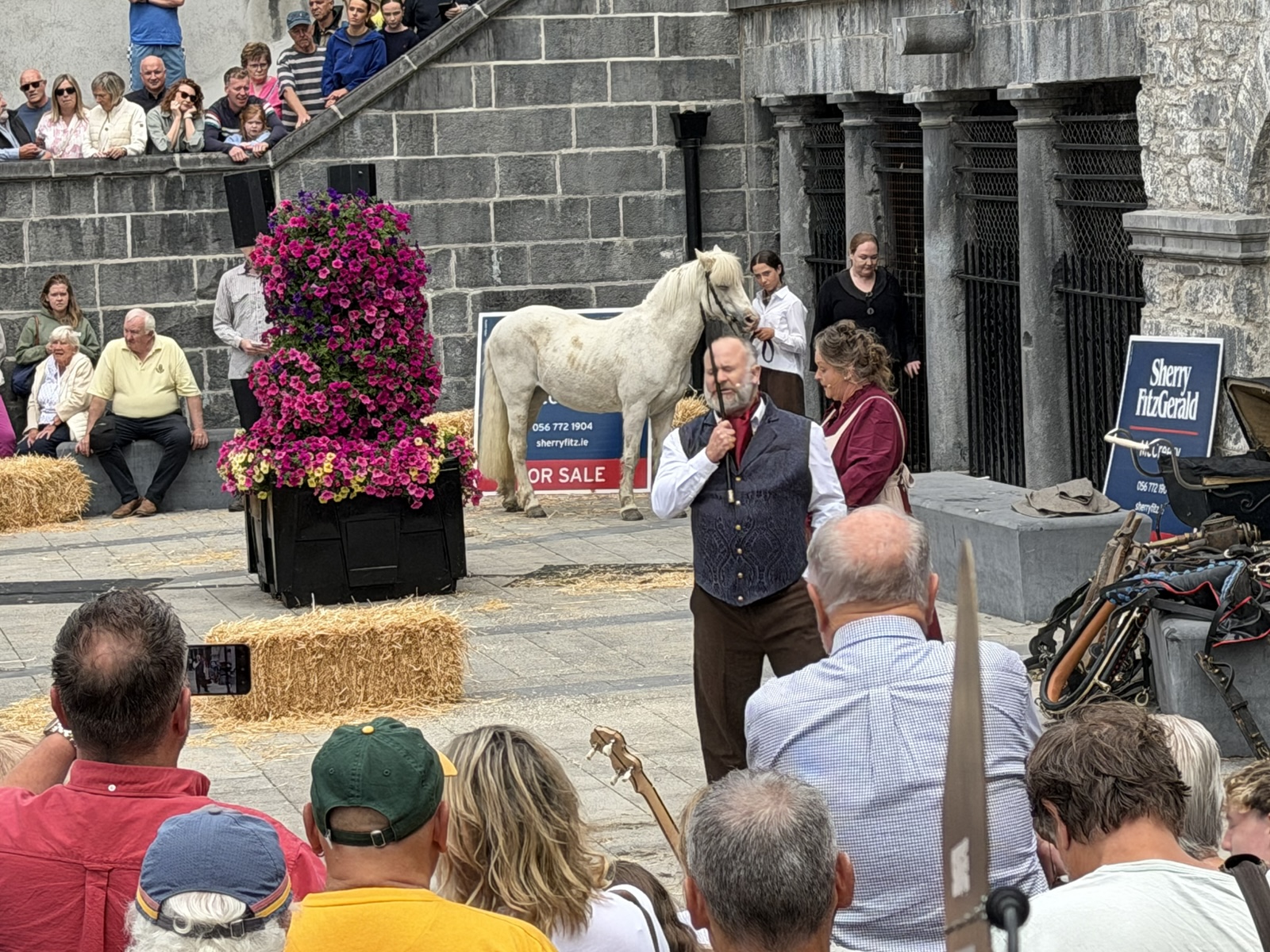
During the auction, a rich lady appeared and bid an exorbitant amount for the pony to save the day. Then the rich lady revealed that the poor lady's father had saved her family member's life once, and that she had always hoped to be able to show her gratitude.
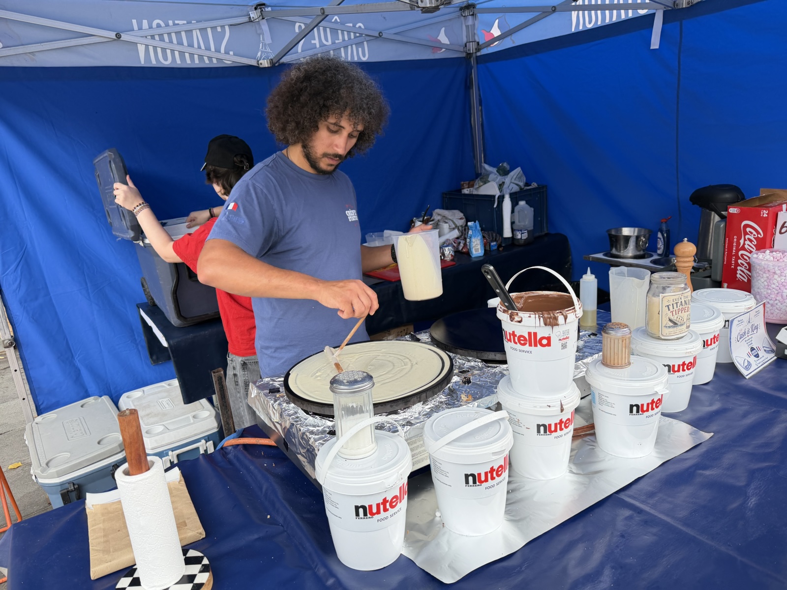
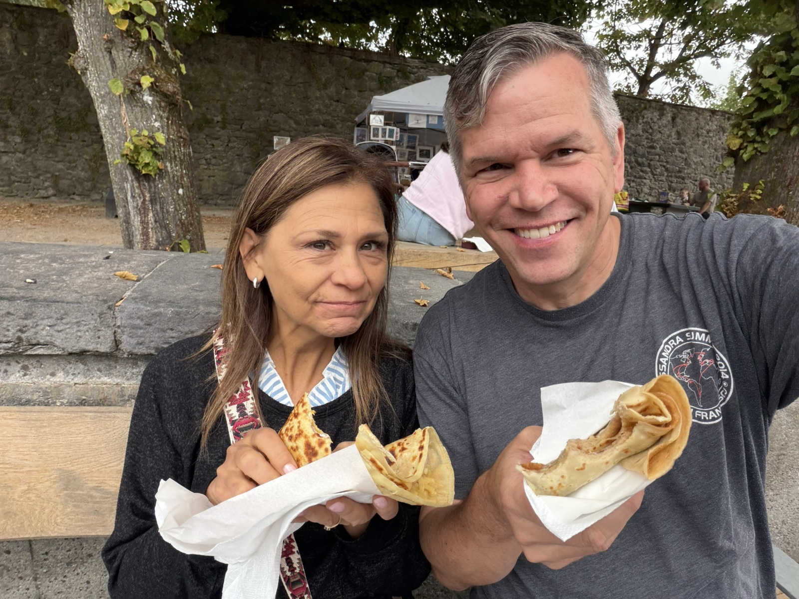
After that, we were getting hungry, so we got a savory crepe and a sweet crepe from this dude.
Then I tried out the ice cream from a local truck.
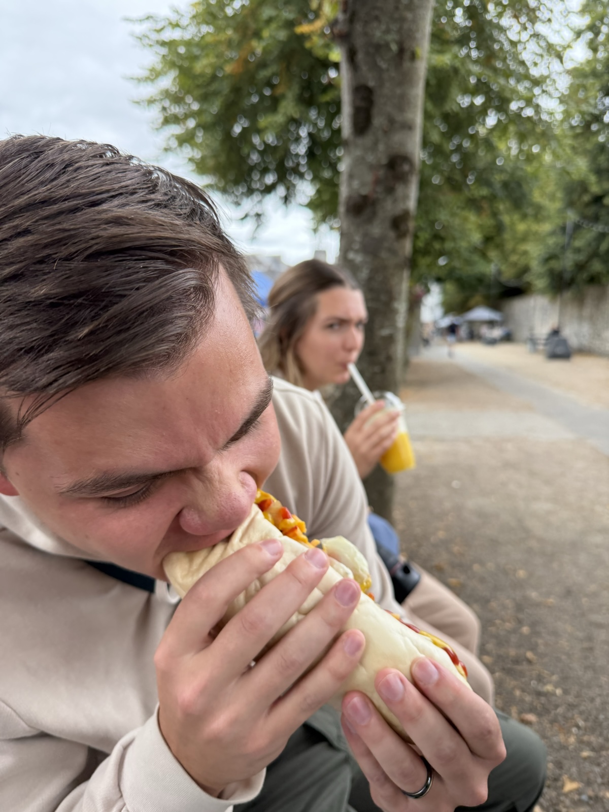
Jared got a big sausage.
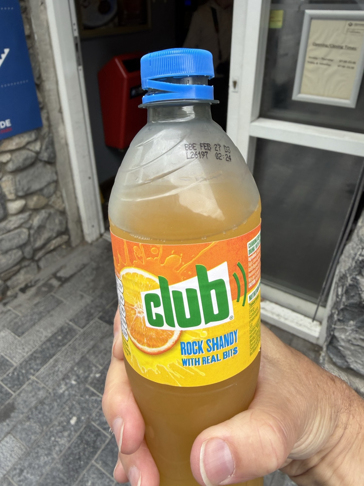
When I asked AI what unique foods Ireland had, one of the things it told me about was their "Club Lemon" and "Club Orange" sodas, so we gave them a try, and they were intensely delicious. The "Club Rock Shandy" is actually a mix of the lemon and orange. I love that it says "with real bits", meaning that it has pulp.
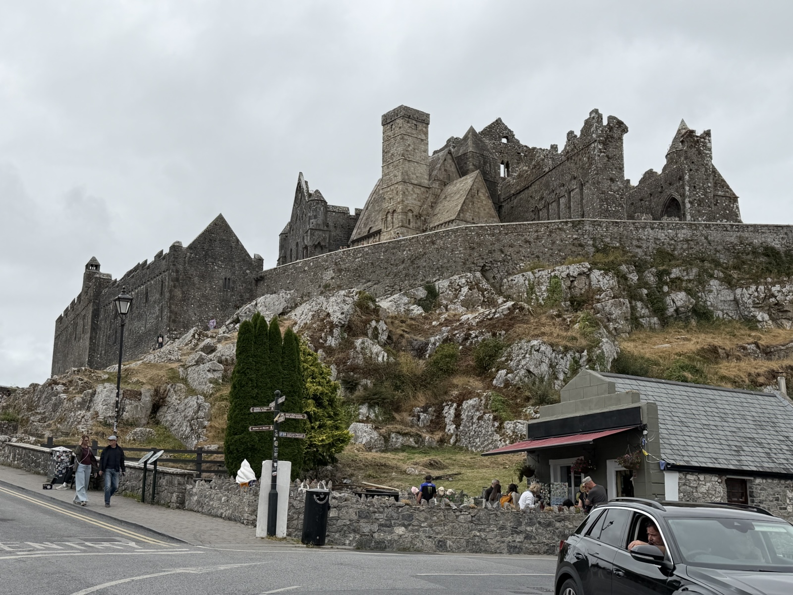
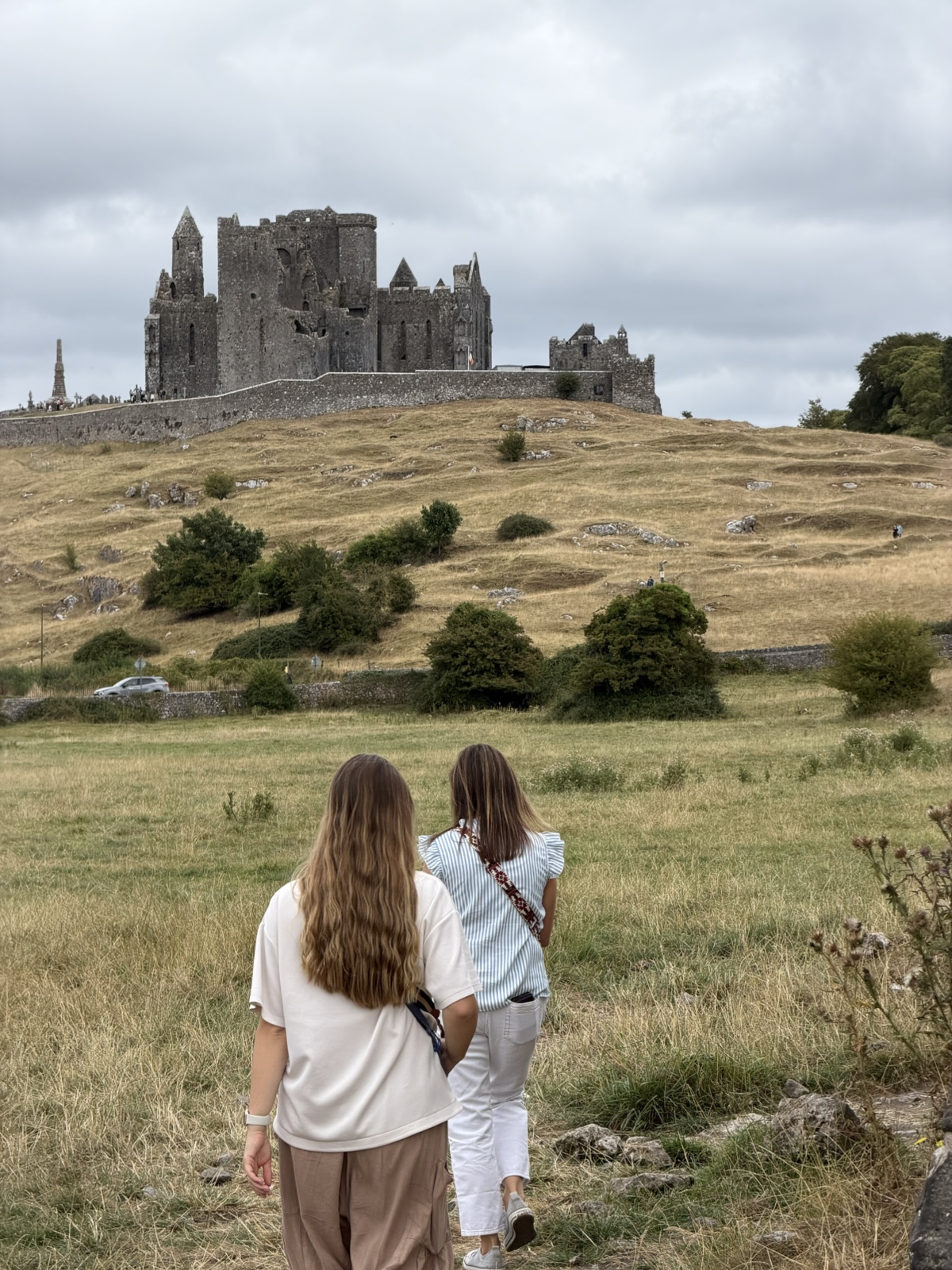
Our next stop was the Rock of Cashel, which also turned out to be free for Irish Heritage Day.
According to Irish myth, the outcrop of rock was created when the Devil took a bite out of the nearby Devil's Bit Mountain during a clash with St. Patrick. Breaking a tooth, Satan spat out this massive chunk of rock.
Around the 4th or 5th century, the Rock became the capital and stronghold of the Eóganachta dynasty, who ruled as Kings of Munster. Then around 450 A.D., legend holds that St. Patrick arrived at Cashel and converted and baptized King Aengus. During the baptism, Patrick accidentally stabbed the king's foot with his pointed bishop's staff. Believing it to be part of the ceremony, the king bore it in silence.
In 978 A.D., Brian Boru—the legendary High King who united Ireland against the Vikings—was crowned King of Munster at Cashel.
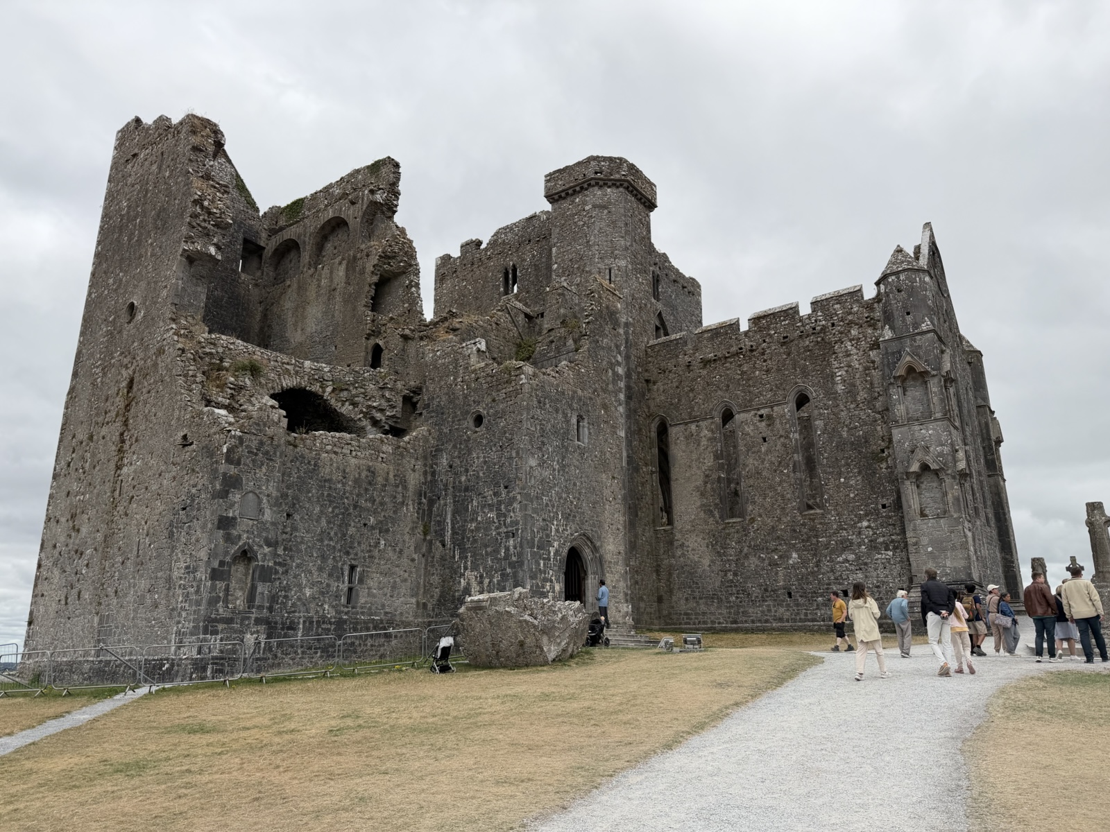
In 1101, King Muirchertach Ua Briain decided to gift the Rock of Cashel to the Catholic Church. This helped prevent his rival clan from reclaiming their ancestral stronghold, and established Cashel as a major religious hub.
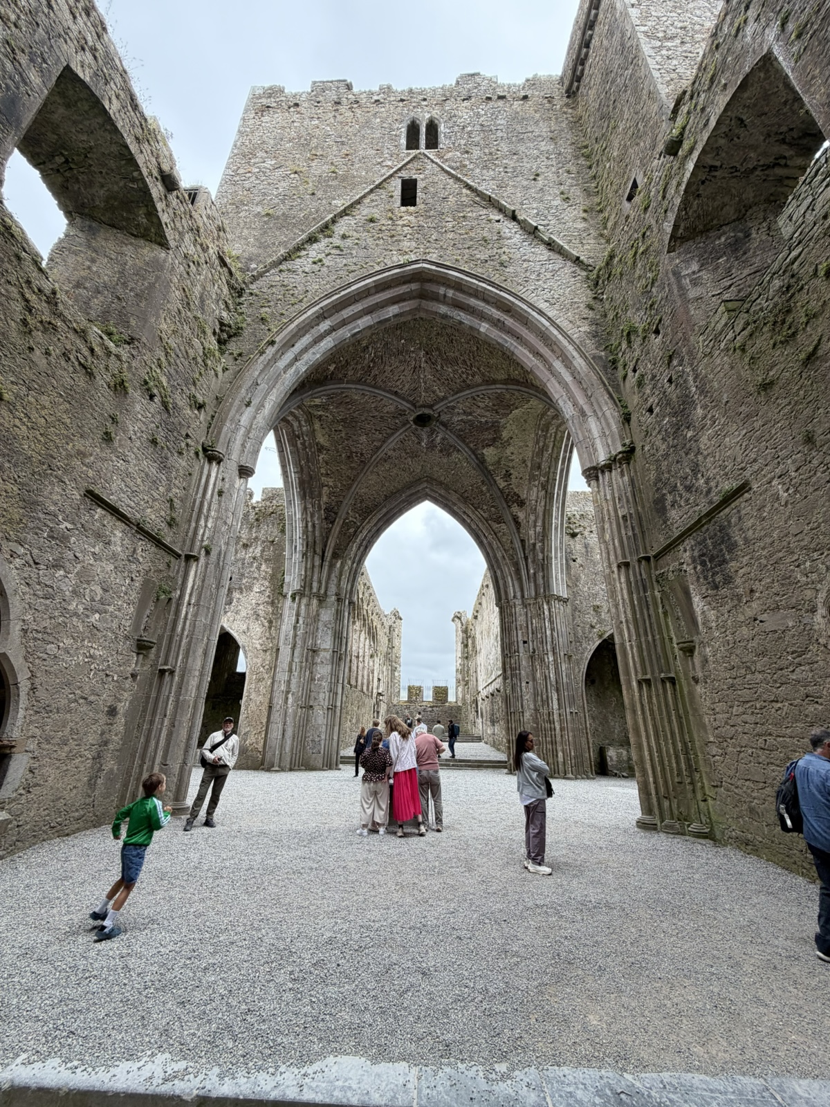
Quite a bit of construction happened after that, including the round tower built about 1100; Cormac's Chapel, consecrated in 1134; and the Gothic Cathedral began in the 1200s.
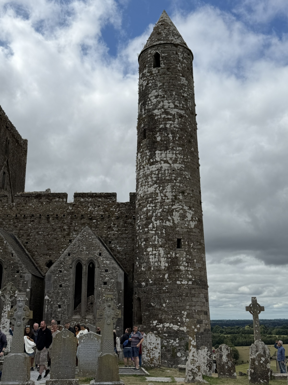
In 1647, during the Irish Confederate Wars, English Parliamentarian forces besieged the town. Hundreds of local citizens took refuge inside the fortified Cathedral. The troops breached the cathedral windows using ladders and set fire to the wood structures. Nearly 1,000 people were killed in the assault and the ensuing massacre, leaving the complex scarred and heavily damaged. So that was sad.
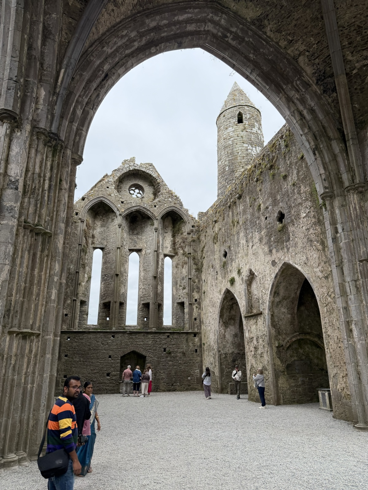
The roof was removed in 1749 to avoid having to repair it, which led to the dramatic ruin seen today.
The Hall of the Vicars Choral was built in the 15th century near the main gate to house the clerics and the Vicars Choral (professional chanting dudes).
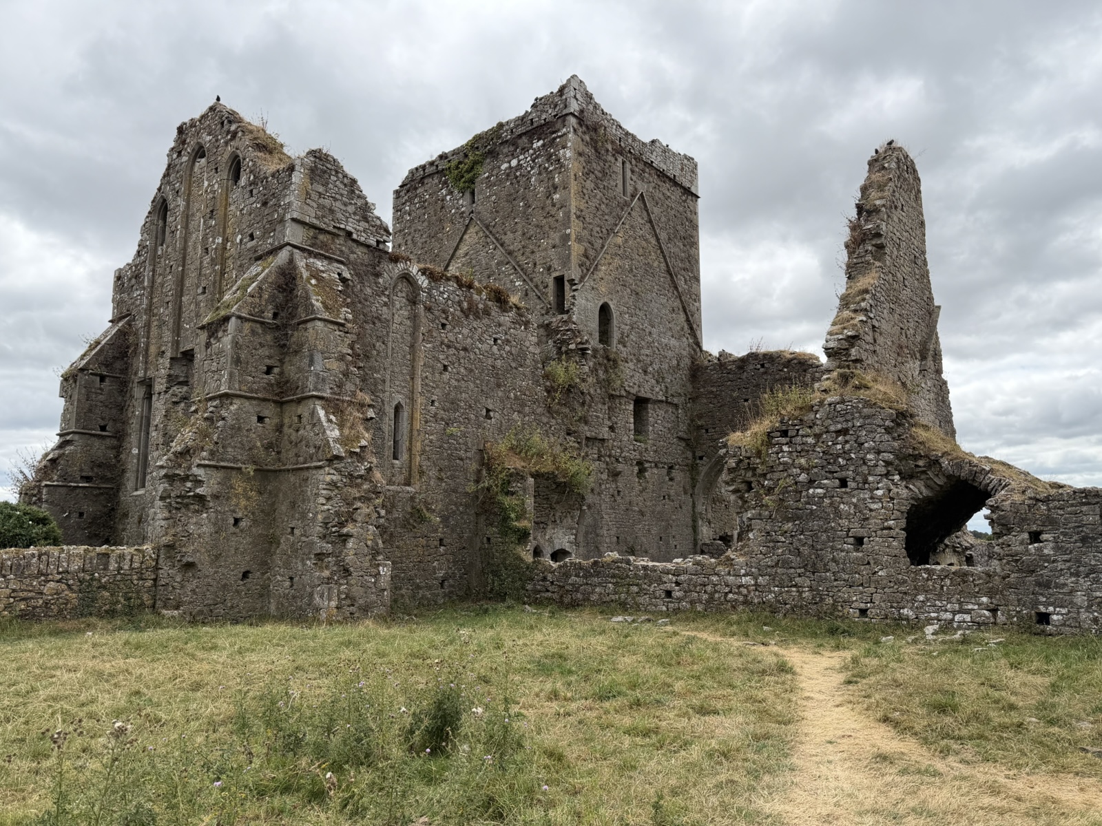
Down the hill from the Rock of Cashel is the Hore Abbey (which is either named after the old Irish word for Yew Tree, iúhar, or after "hoar", meaning grey or white, as in hoarfrost).
It was built in 1266 for the Benedictine Order by Benedict of Tipasa. In 1272, David MacCarwill, the Archbishop of Cashel, kicked the monks out and handed the abbey over to the Cistercians from Mellifont Abbey (possibly because the Benedictine order was pro-Anglo-Norman, and the Cistercians were more Gaelic-Irish).
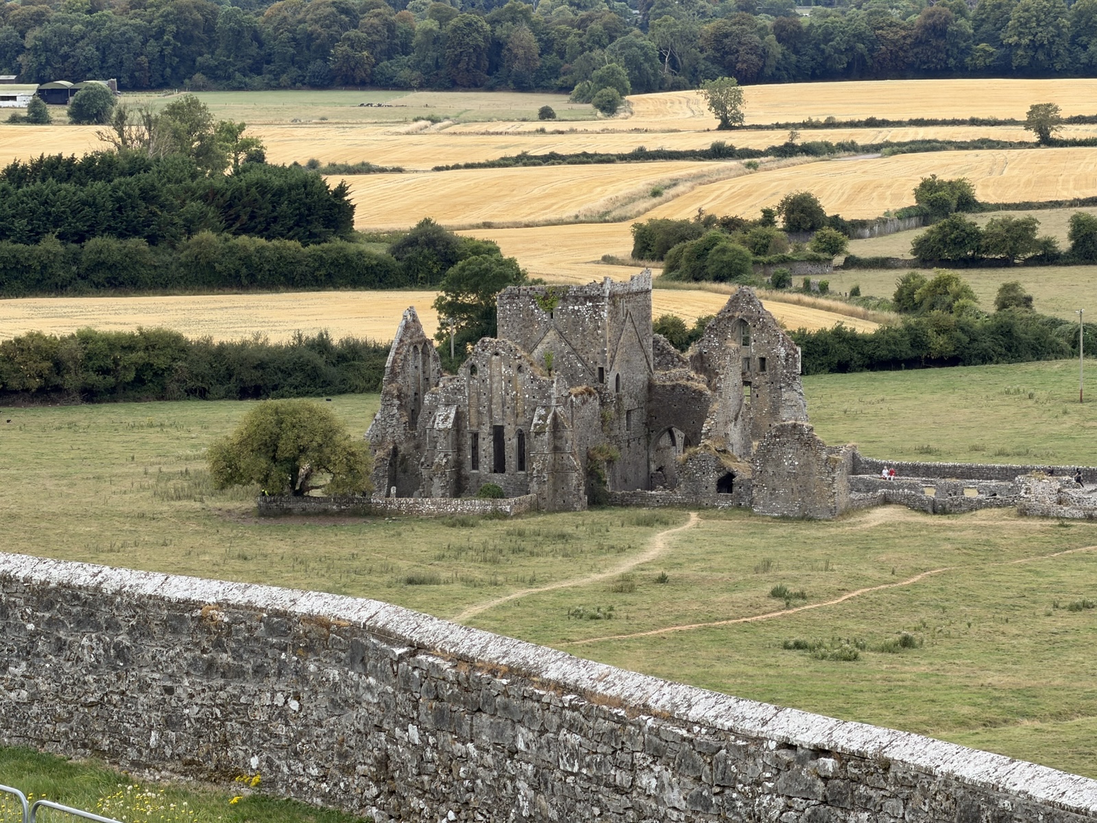
The abbey remained active until the Dissolution of Monasteries under King Henry VIII in 1540 (the same action that destroyed the church we saw in Glendalough).
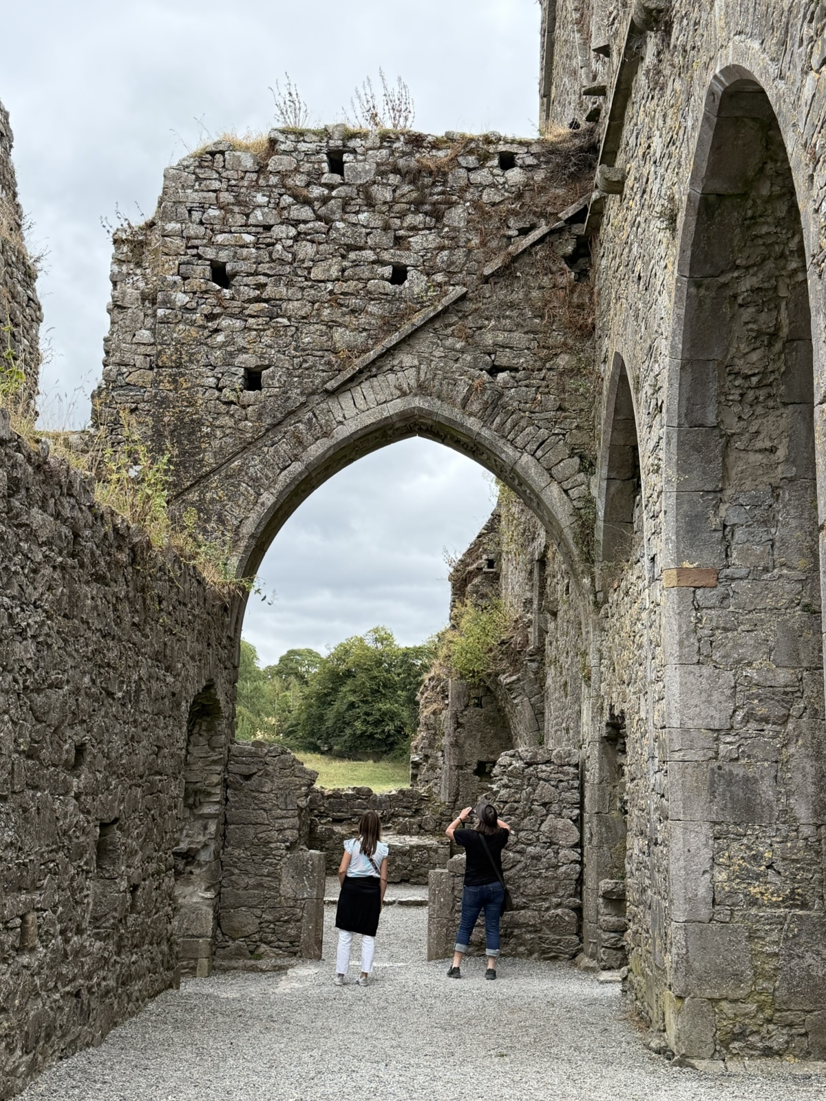
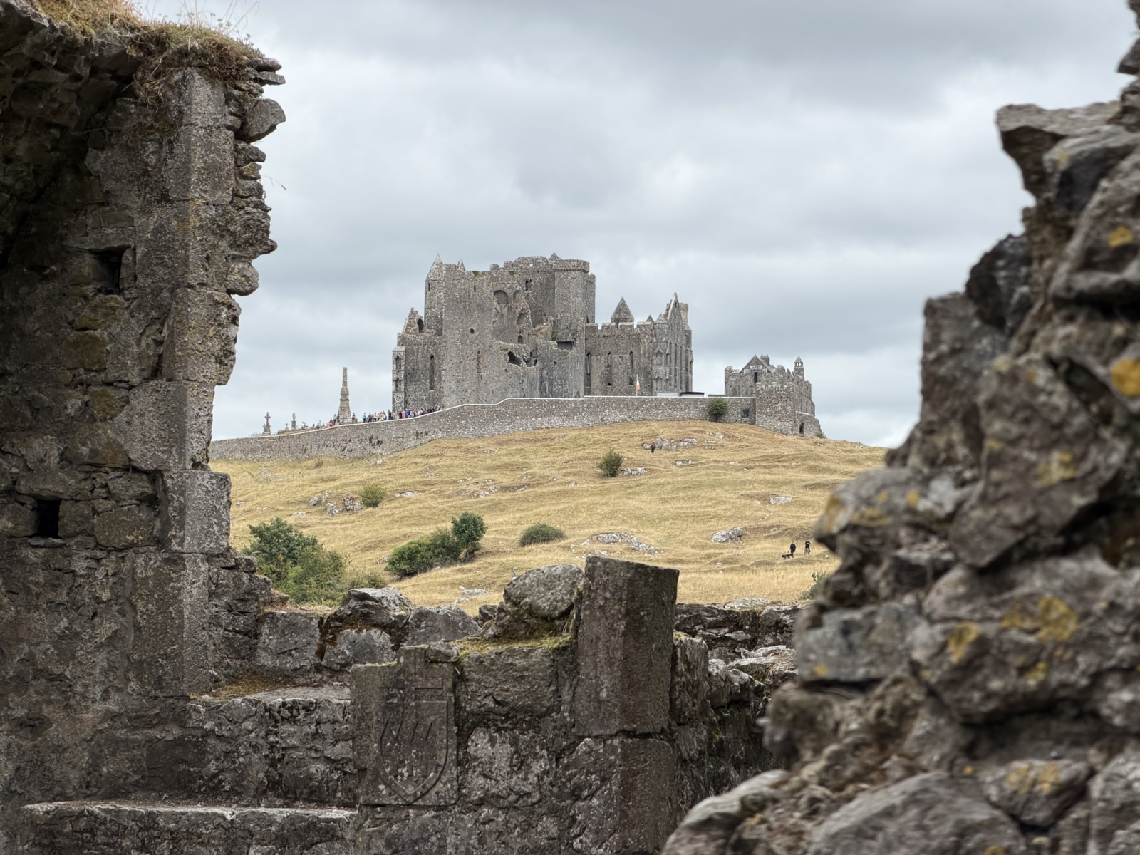
The view of the Rock of Cashel was pretty cool from the abbey.
It was built with a Latin cross layout.
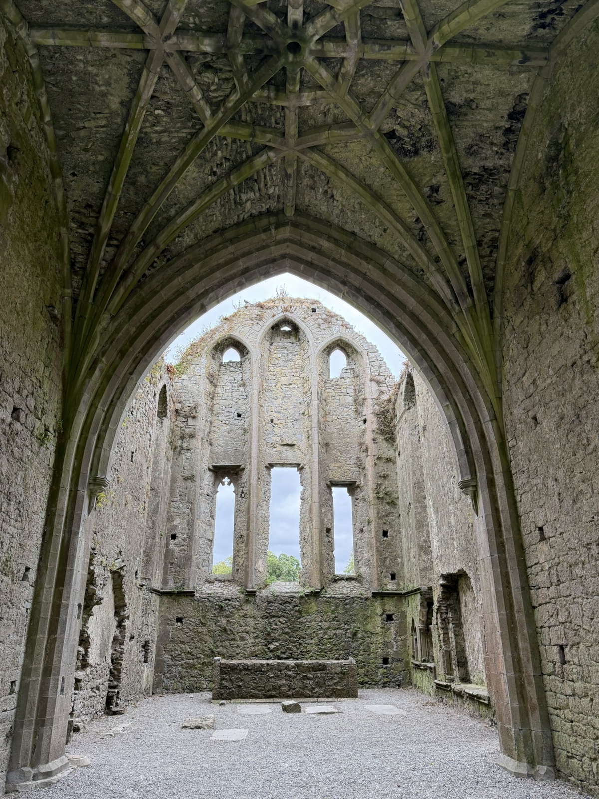
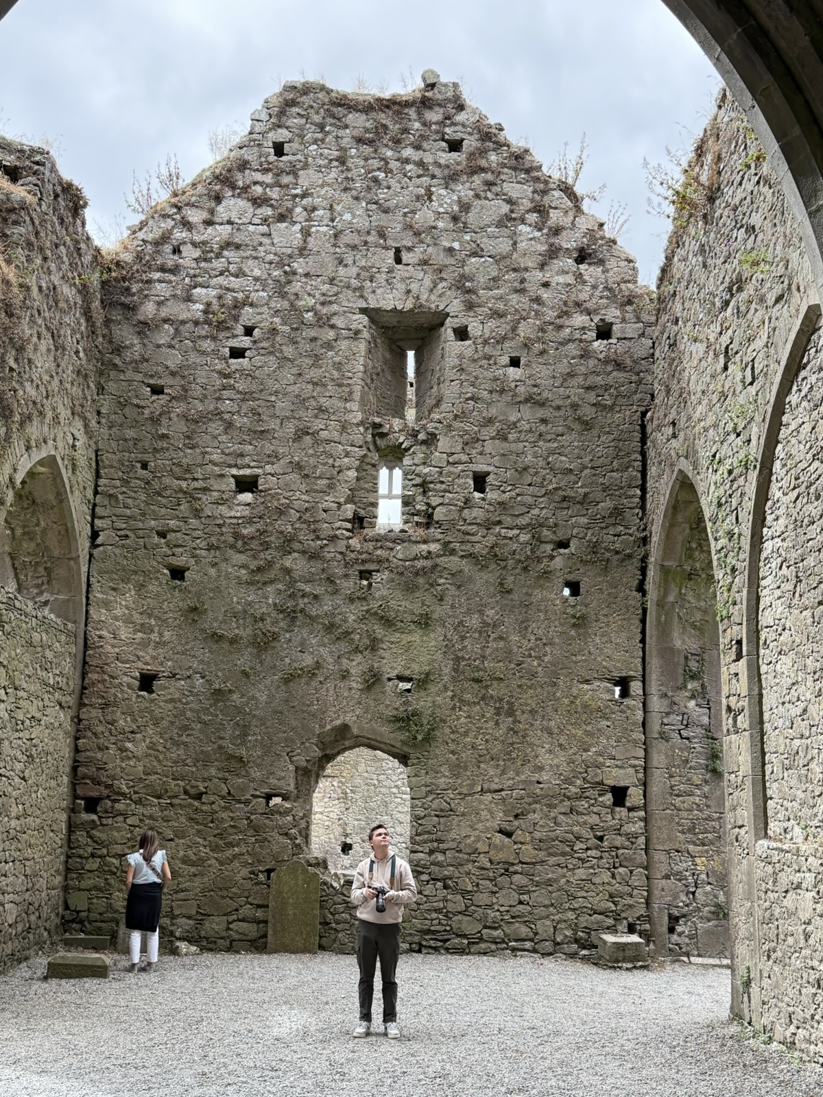
Lots of people visit the Rock of Cashel, but relatively few hike down the hill and climb over the sheep fences to visit the abbey. I thought it was very cool.
Our next stop was St. Peacaun's "Holy Well", built some 1400 years ago around 600 A.D. It is not well known, but I got instructions of how to visit it.
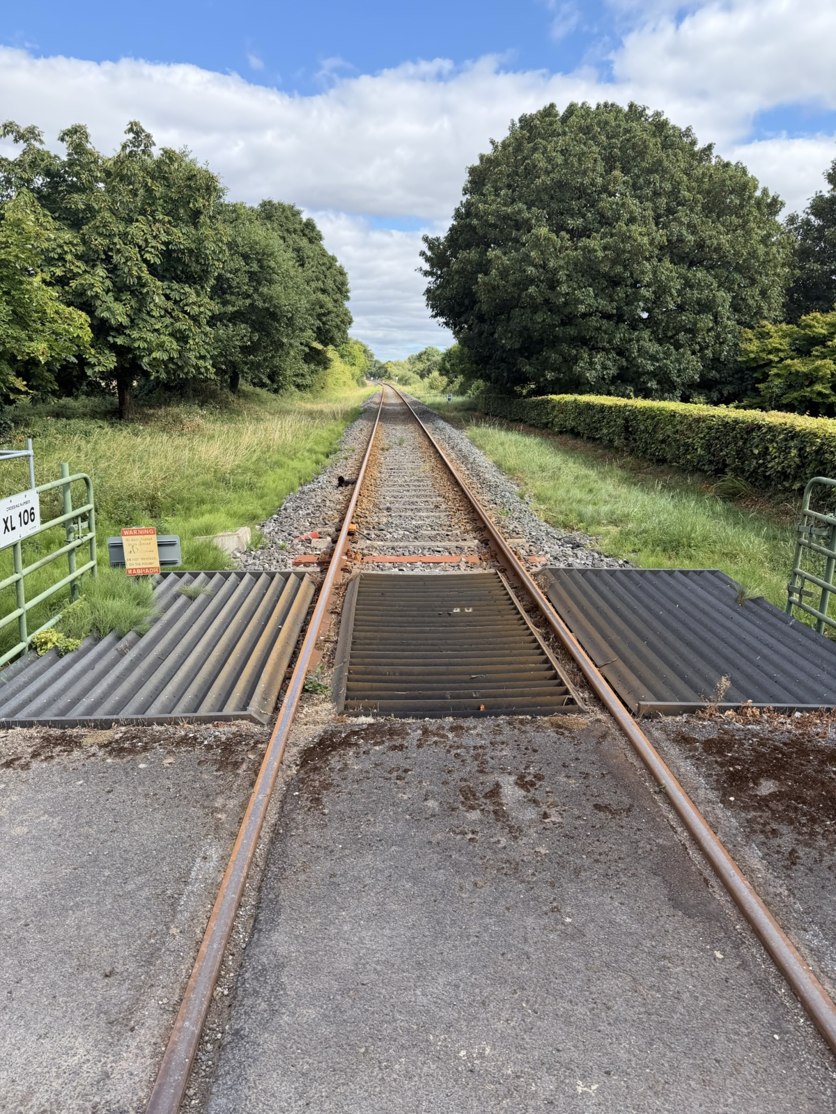
First, you park in a little spot near a gate. Then open the gate and cross these railroad tracks (being sure to always "leave a gate as you found it.")
Then you go through the gate on the other side of the tracks, which takes you into the private farm of the Bourke family.
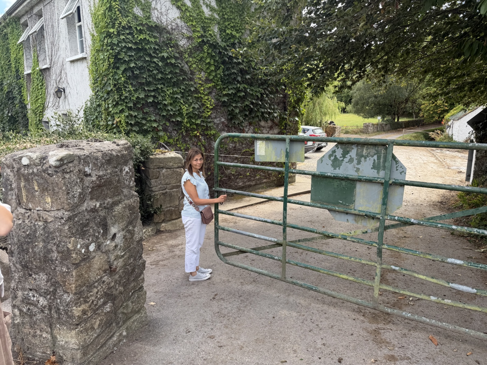
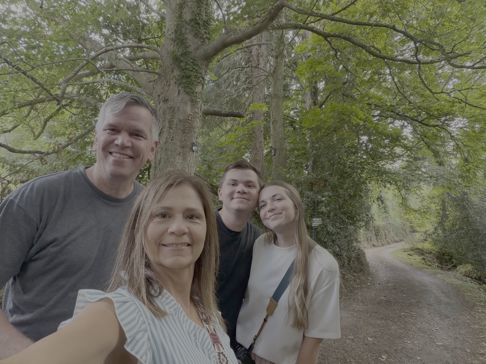
When we entered there, a friendly farmer smiled at me, and I said, "We'd like to see your well." He beamed and gestured down the road.
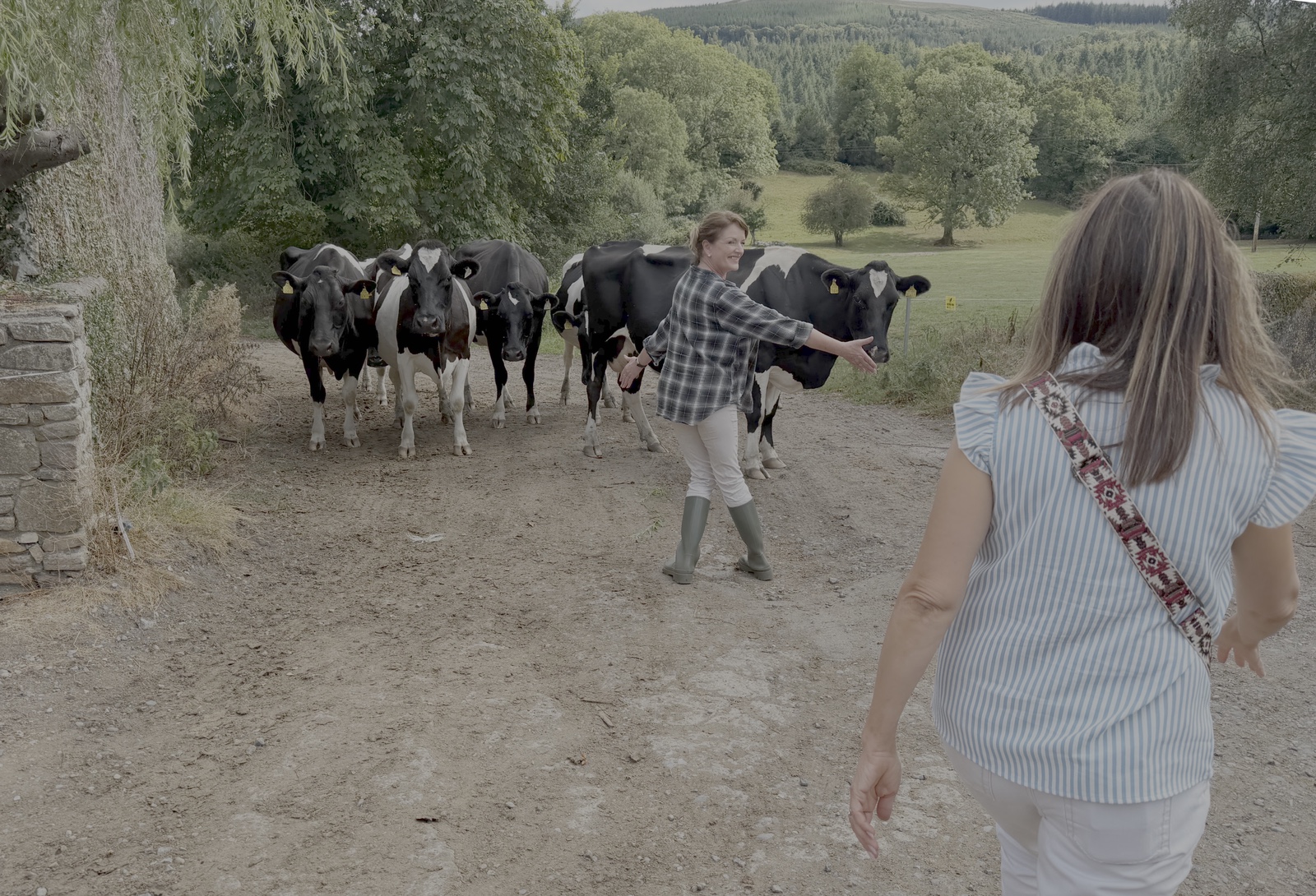
Meanwhile, his wife was about to lead some cows across the little road, and held them back for us while we passed.
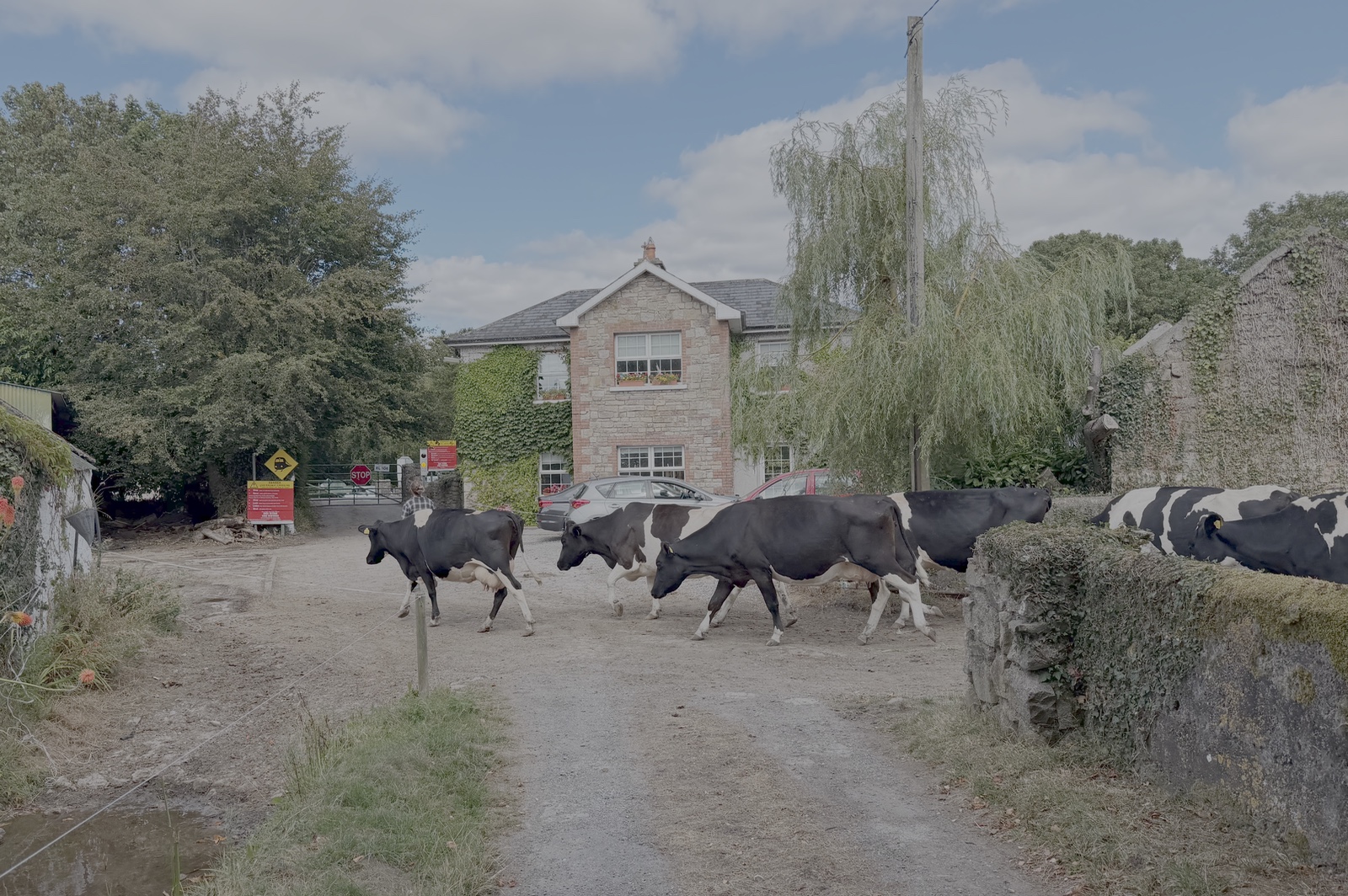
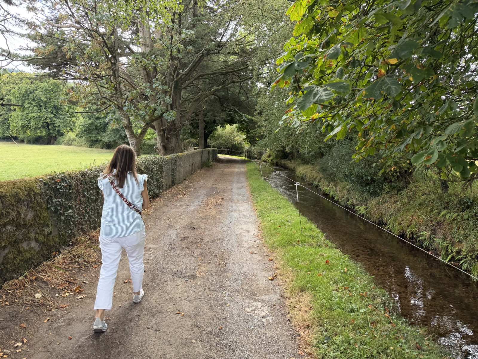
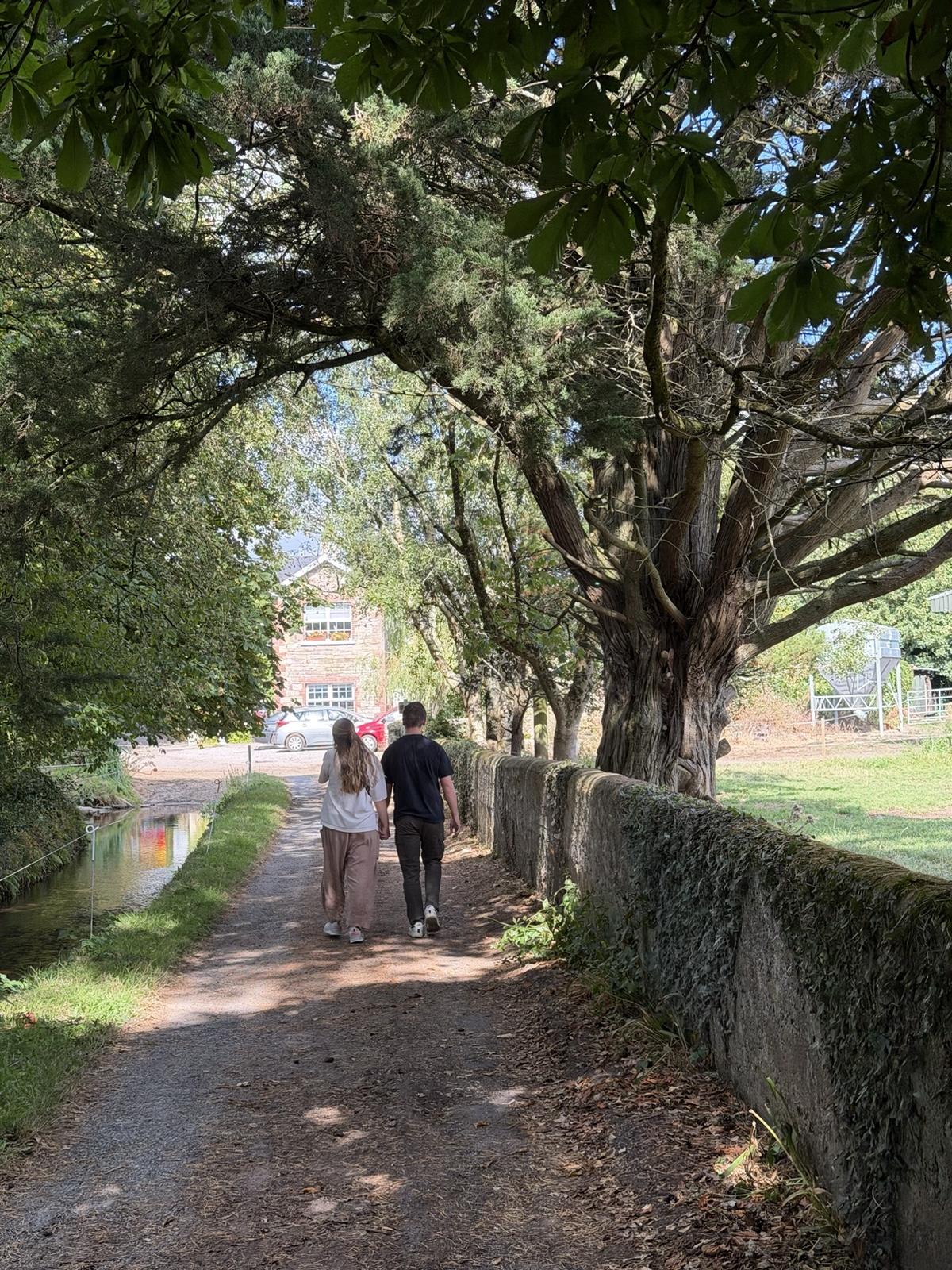
We walked down a charming road with a canal running beside it.
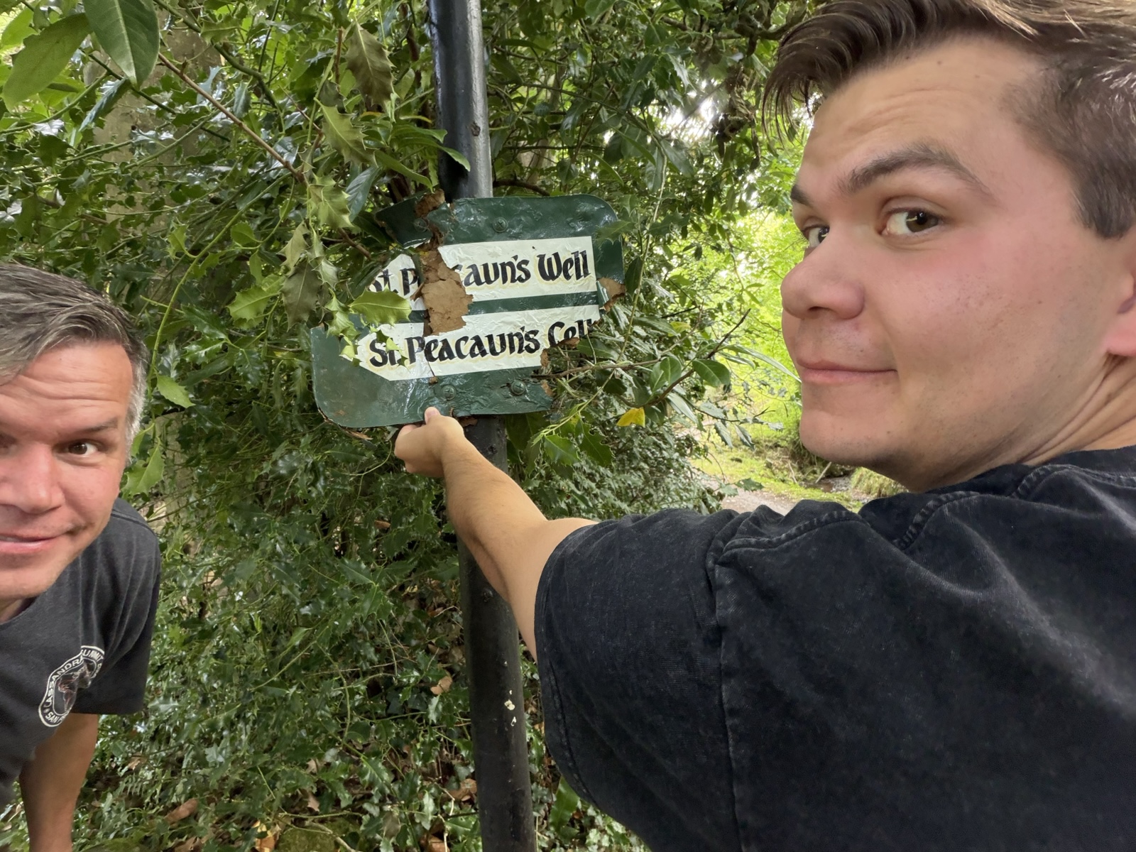
The sign for the well had broken, so Jared held up the pieces for a picture.
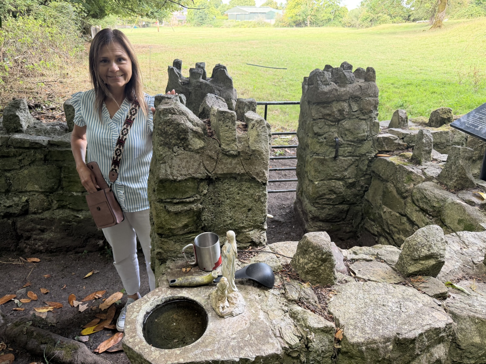
There was a little shrine of sorts built there.
And then there was the well. I thought it was so cool that this little well has been around since 600 A.D.
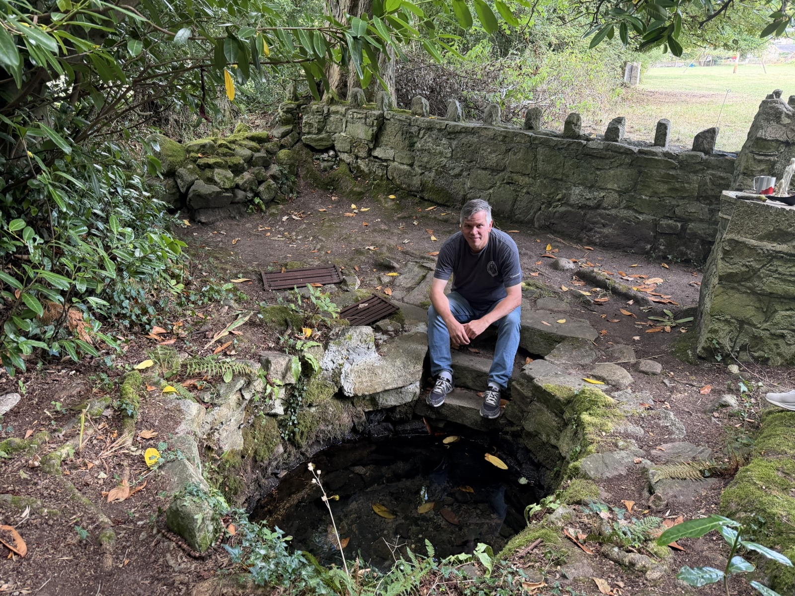
Archeological digs confirmed that there were wooden structures of an early thriving Christian monastic community surrounding the well.
Some people believe that the well has healing properties, and for centuries, pilgrims have gathered on the site on August 1st to perform "rounds", which involve saying specific prayers while walking a set route around the area.
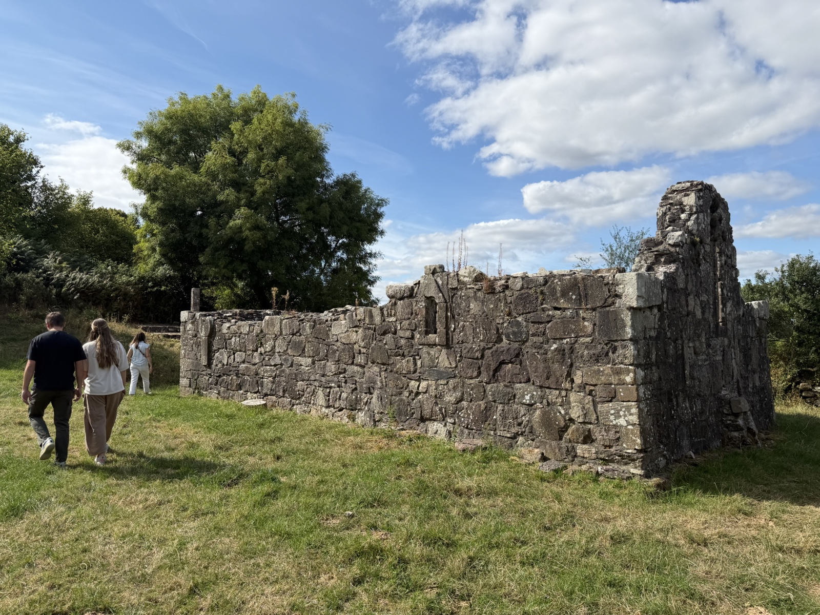
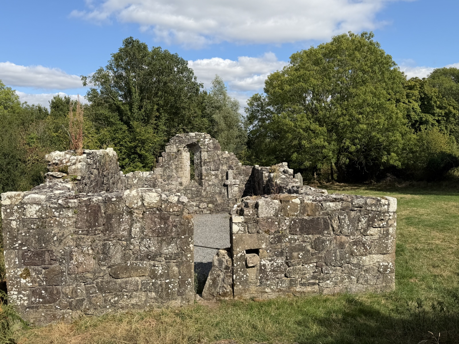
Just a short walk from there were medieval church ruins called Toureen Peakaun. This church was built in the 11th or 12th century, and was excavated and stabilized in the 1940s by the Office of Public Works.
The restoration took some of the grave slabs and permanently affixed them to the wall to keep them from getting stepped on and broken.
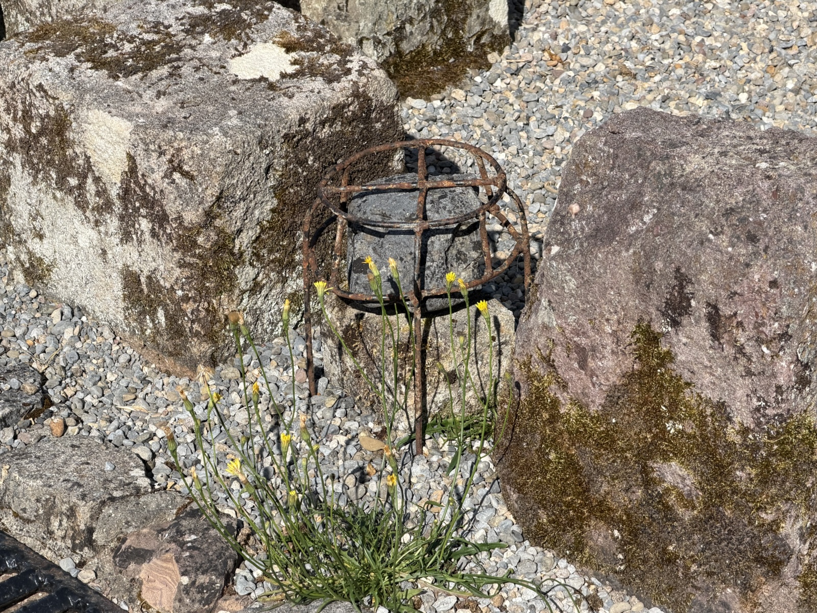
This is the legendary "Butter Stone" from the 600s A.D. (Legend says that a lady told St. Peacaun that she didn't have any food for him, even though she had just churned some butter, so he turned the butter into this stone). It has been handled by pilgrims for hundreds of years, but in the 1940s was put in a cage to keep it from walking off.
What a fun, unique visit to a magic well.
Our final stop of the day was at Cahir Castle, which was built around 1142 by Conor O'Brein, Prince of Thomond, on the site of an earlier Gaelic earthwork fort ("cathair", meaning stone fort).
In the 12th-13th century, the site passed into Anglo-Norman hands, and was heavily expanded by the de Bermingham family into a major stone fortress guarding a vital river crossing.
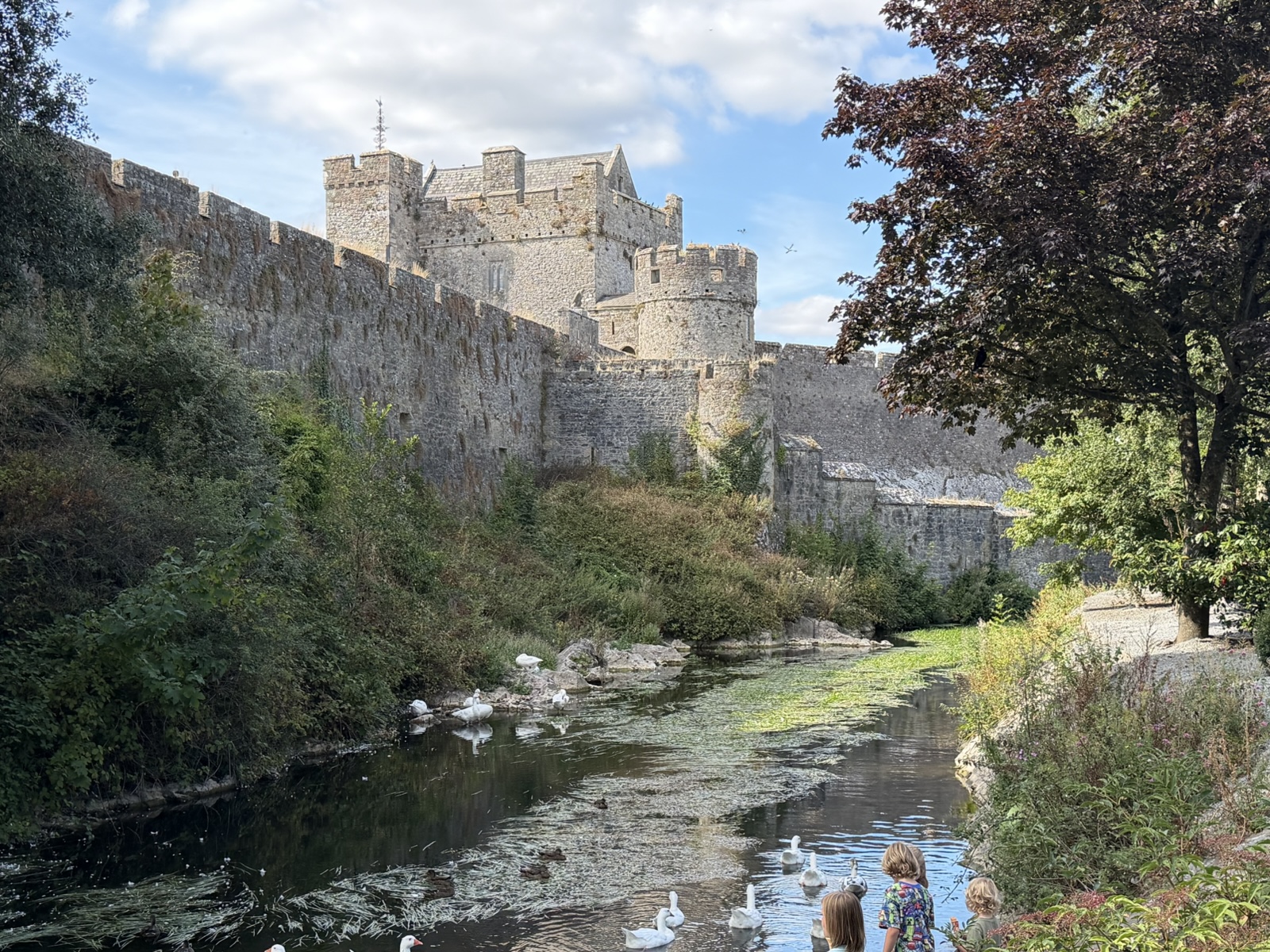
In 1375, King Edward III granted the castle to James Butler, 3rd Earl of Ormond, and the Butler family kept it for six centuries.
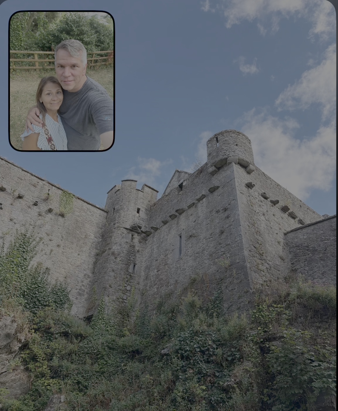
Linette and I walked all the way around to the dead end in the back before realizing that the front door was the other way. Apparently we aren't very good at storming castles.
When we entered the castle, there was a party going on! A live band was playing a bunch of old favorite Irish songs.
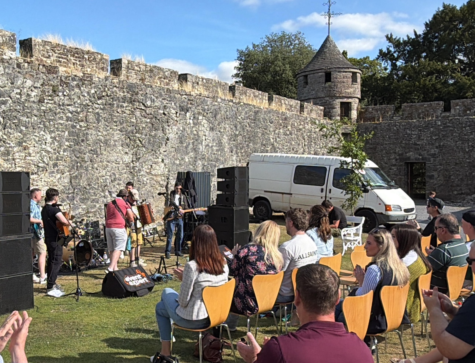
We sat down in some seats in the shade and enjoyed the unexpected show!
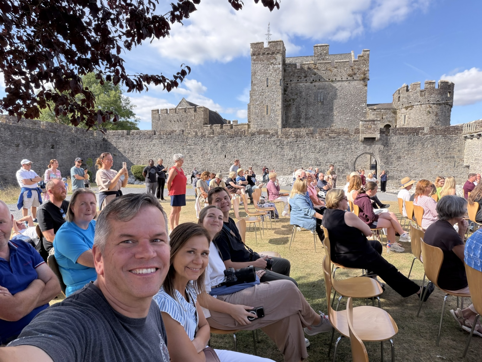
People clapped and sang along, especially when they played "Tell Me Ma" at the end. It was so fun!
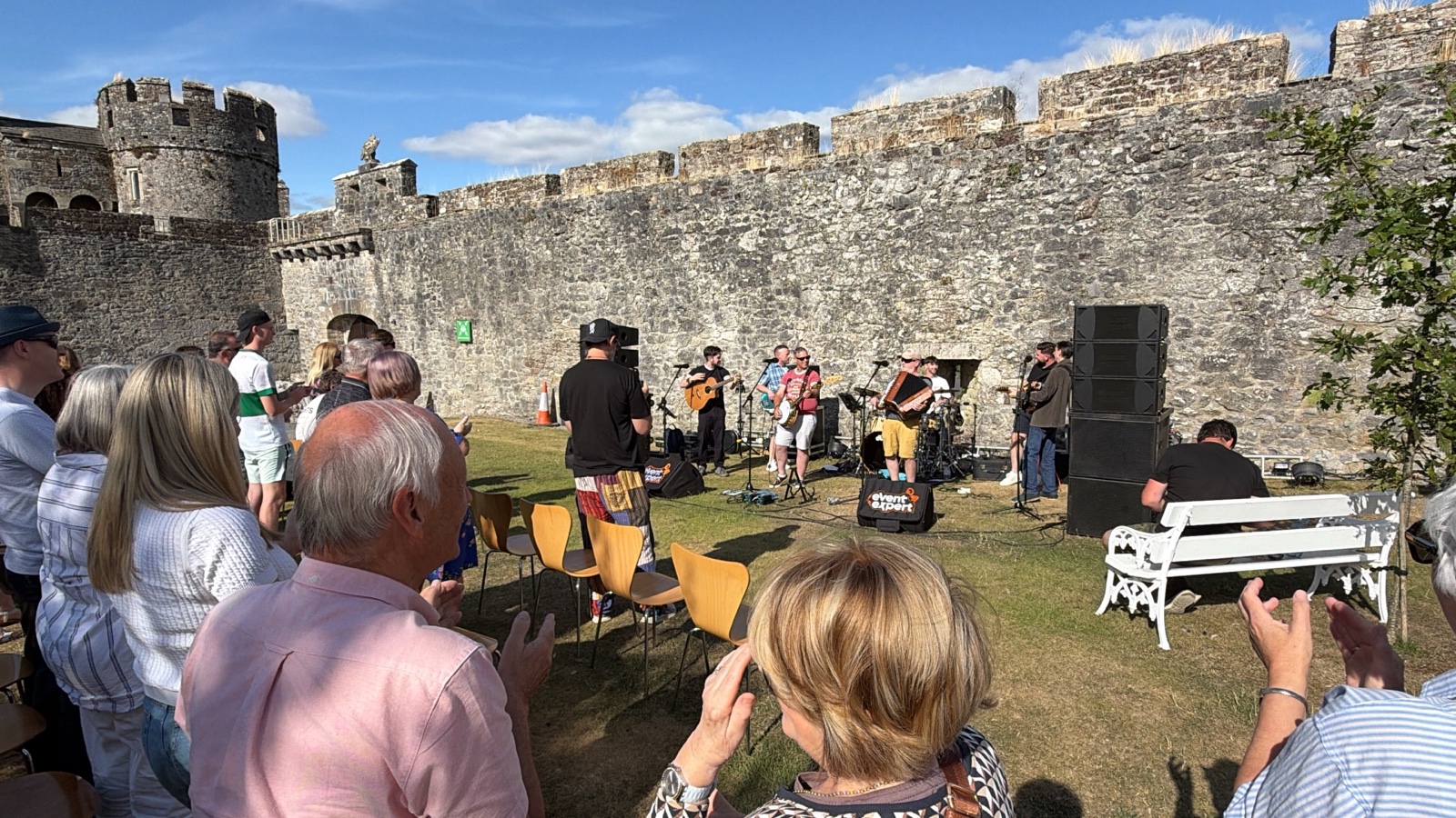
Here's a 4-minute video of the band playing "Tell Me Ma" at Cahir Castle, as the crowd rises to their feet and claps along.
After they wrapped up, we looked around the rest of the castle.
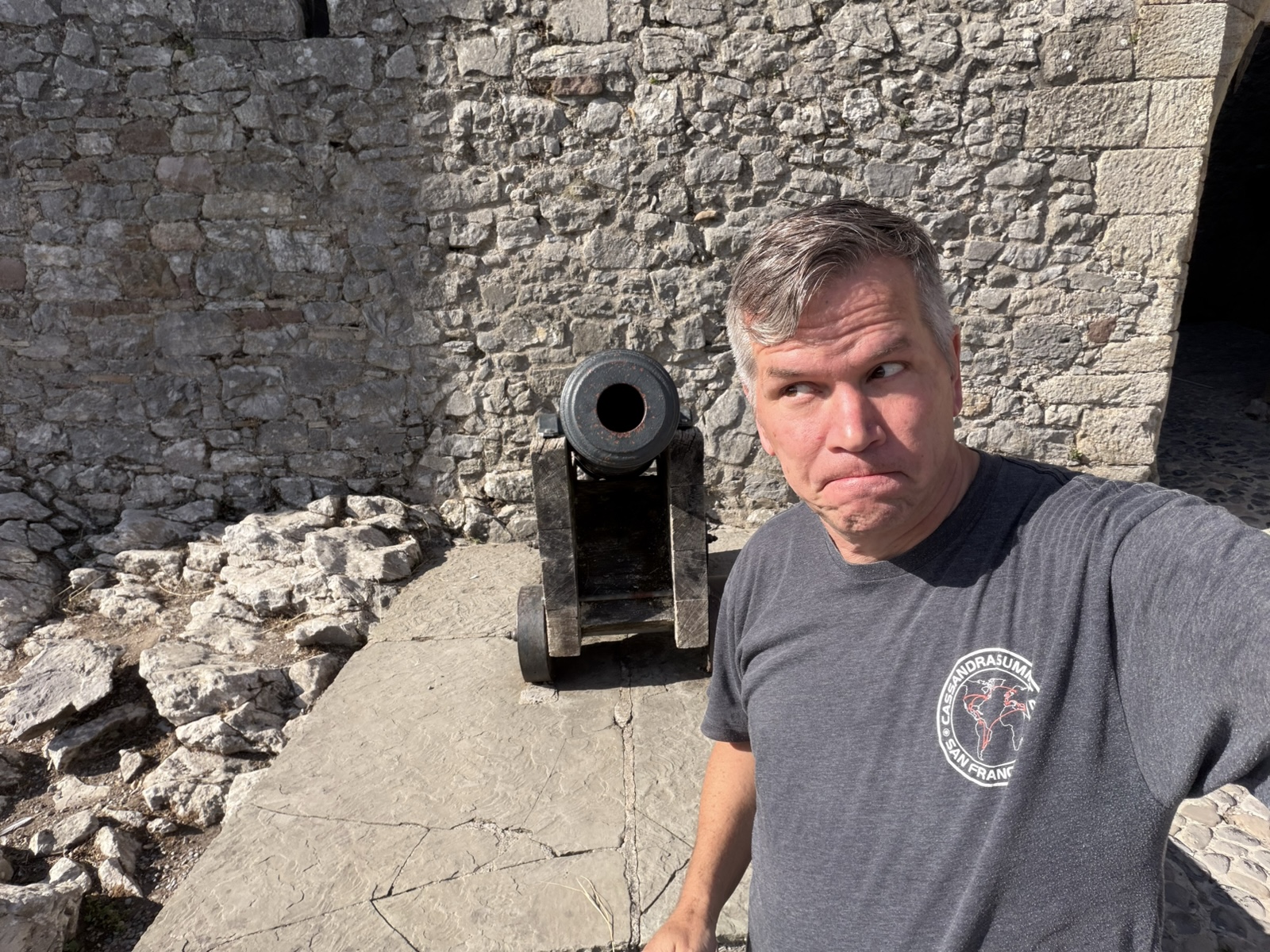
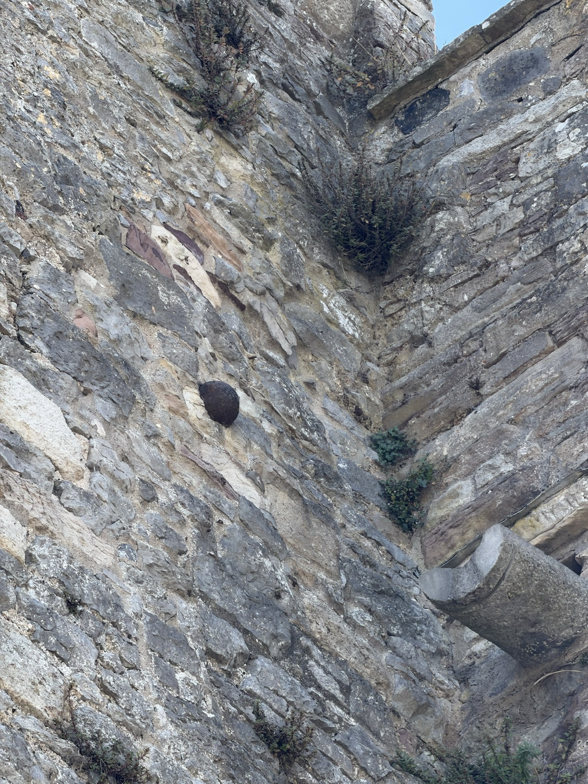
A lady who worked there told us a bunch of interesting stories, including how the castle was attacked during the Siege of 1599 by Robert Devereux, 2nd Earl of Essex, where he laid siege to the castle with 1,500 men and heavy artillery.
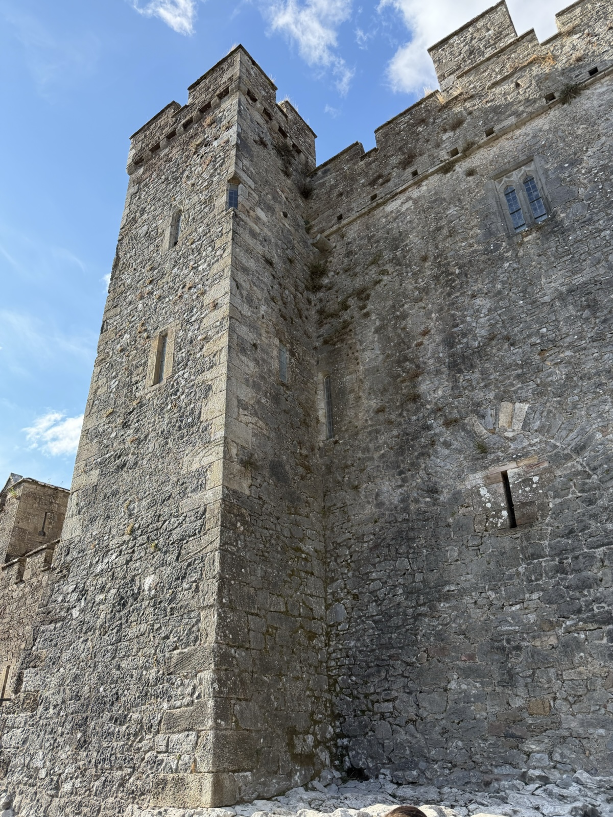
One of the cannonballs is still stuck in the wall to this day!
The lady told us about so many nasty techniques people used back in the day. For example, they would dip their arrows in the latrine so that people who got hit with them would eventually die of infection.
And this was a trap. People would come through the gate, and before they could break down the facing door, the door behind them would slam down, trapping them. Then people would shoot arrows and drop rocks, boiling water, burning sand and sewage down on them from above.
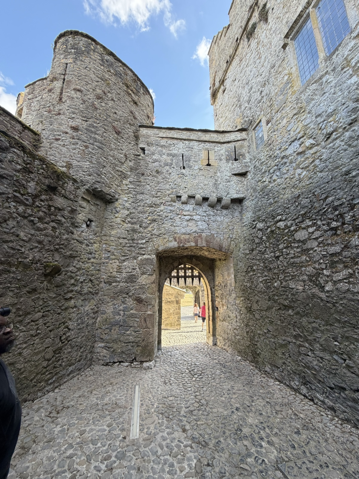
This was a big fancy room, but the fireplace is not original. It was added when some of The Game of Thrones was filmed here, and the fireplace mantel is actually styrofoam.
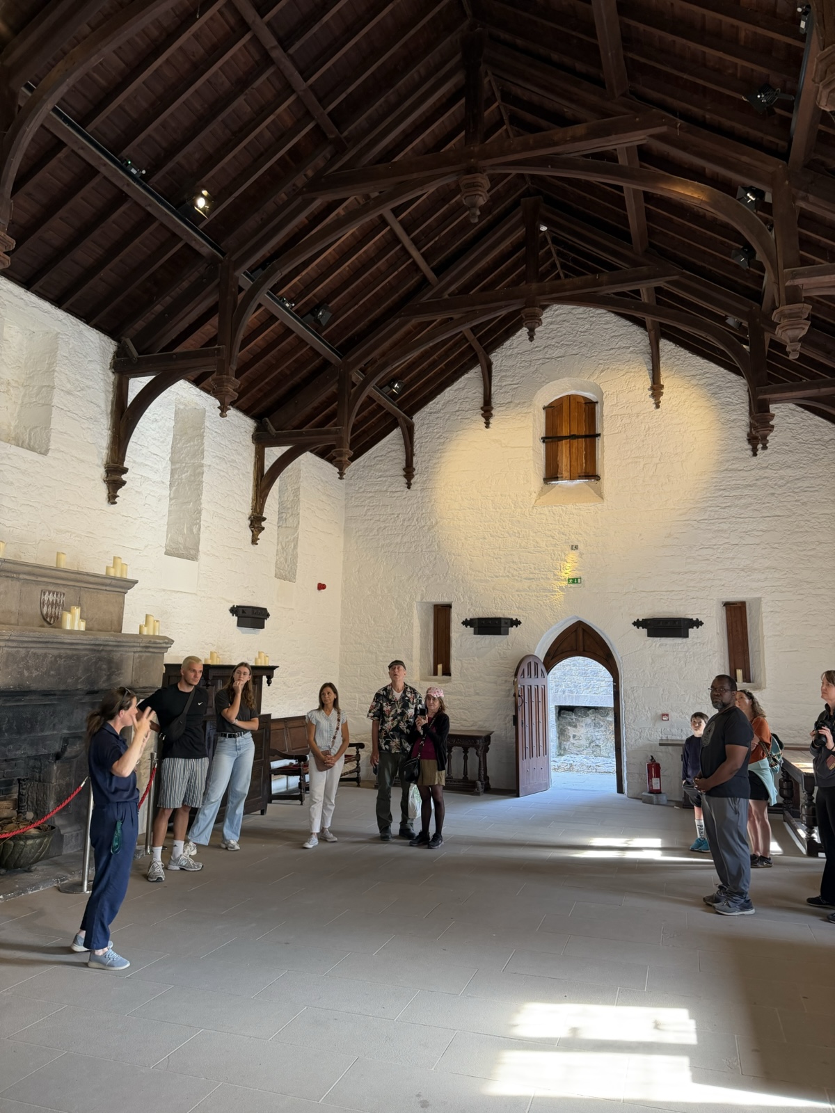
It was interesting to look up the chimney and see the daylight and spider webs in there.
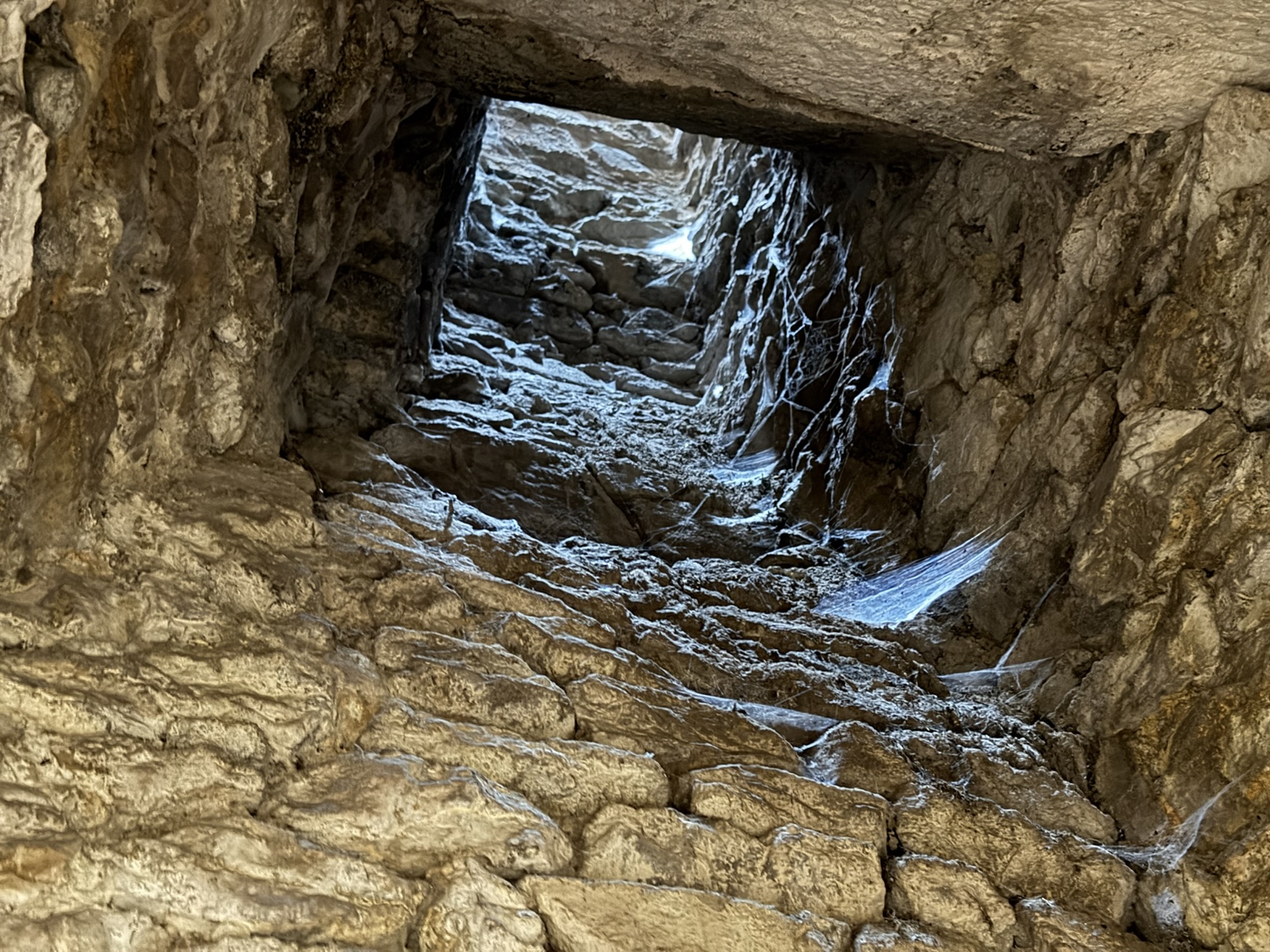
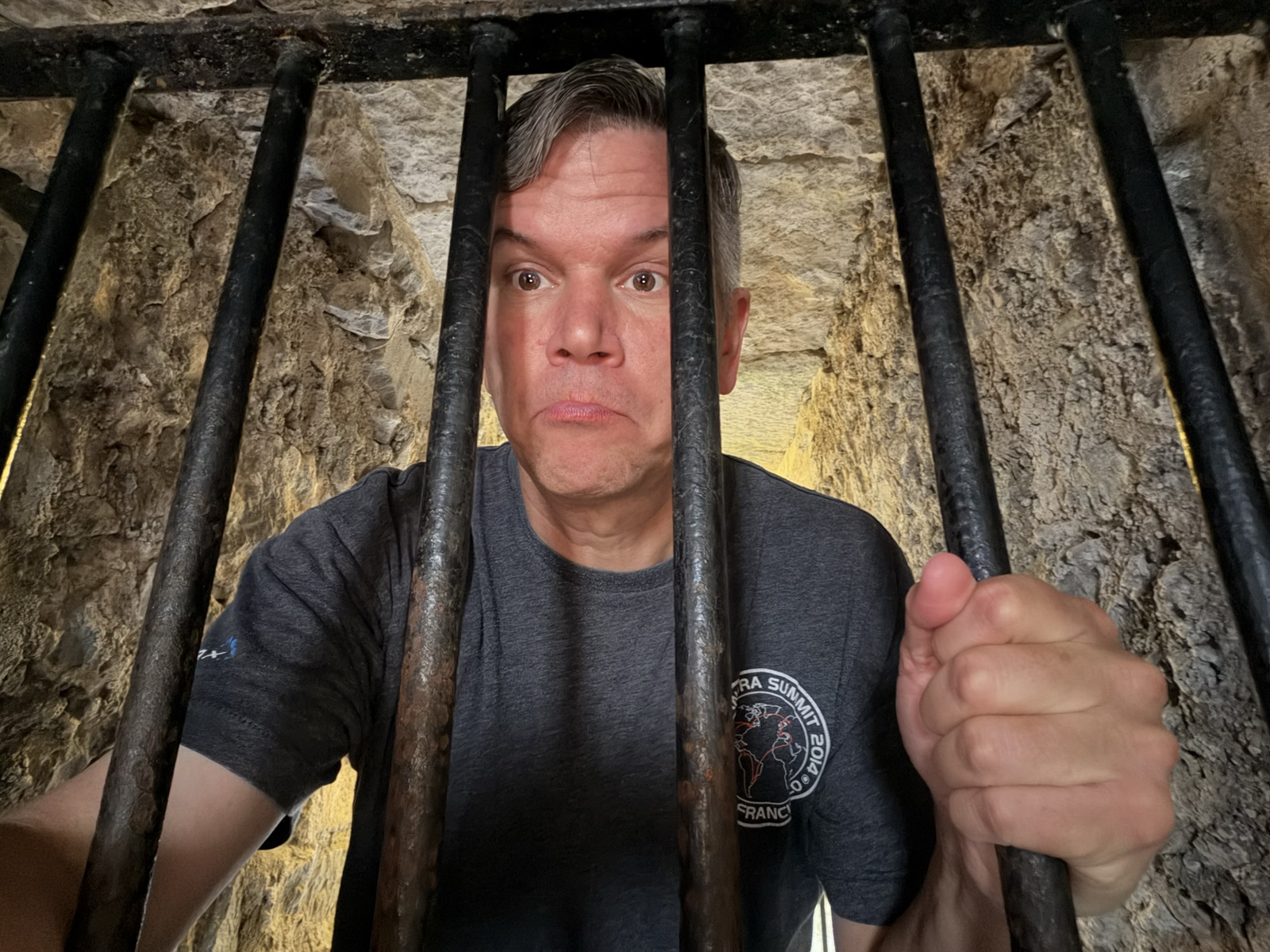
And this is the dungeon.
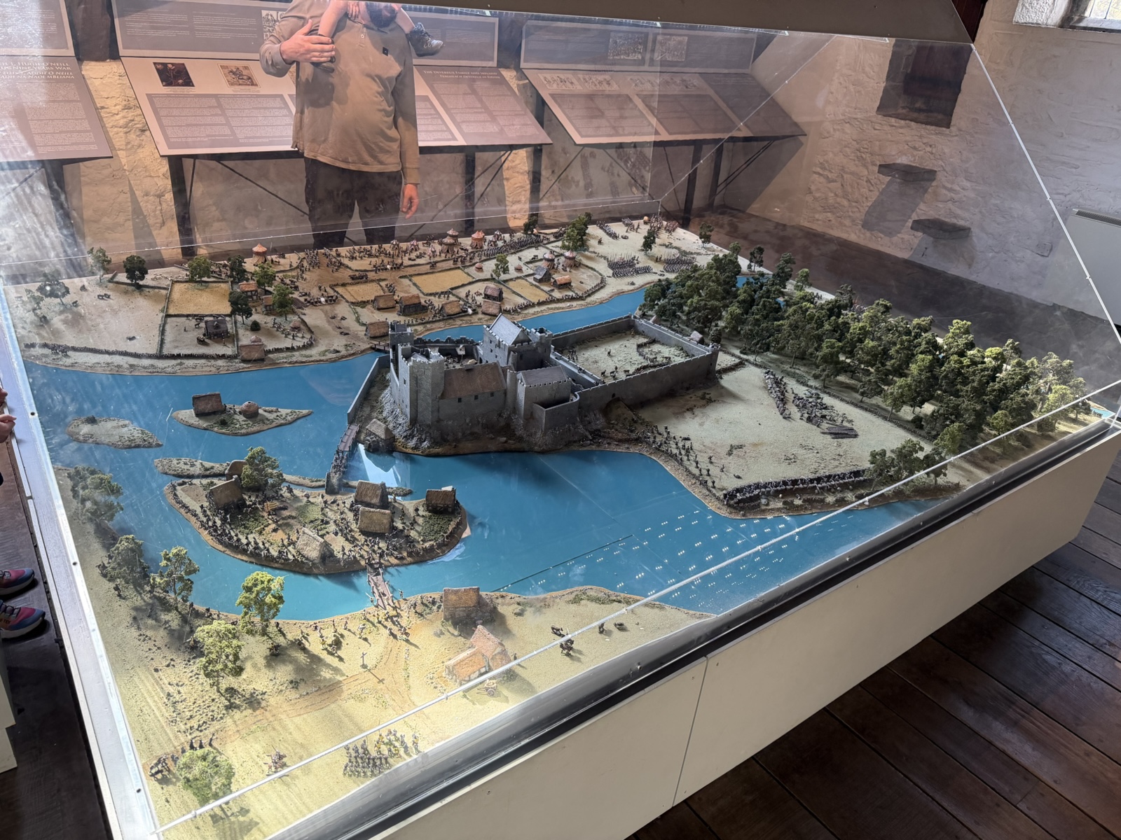
And here's a little model of how the castle and river were situated back in the day.
The castle was captured in 1647 by Murrough O'Brien—the same dude who sacked the Rock of Cashel.
In 1650, the owner, George Butler, surrendered to Oliver Cromwell, rather than face the level of destruction other castles had received.
In the 1840s, Richard Butler did some major renovations to rebuild the Great Hall and outer walls, and then in 1961 it was passed to the Irish State and is now maintained by the Office of Public Works (OPW).
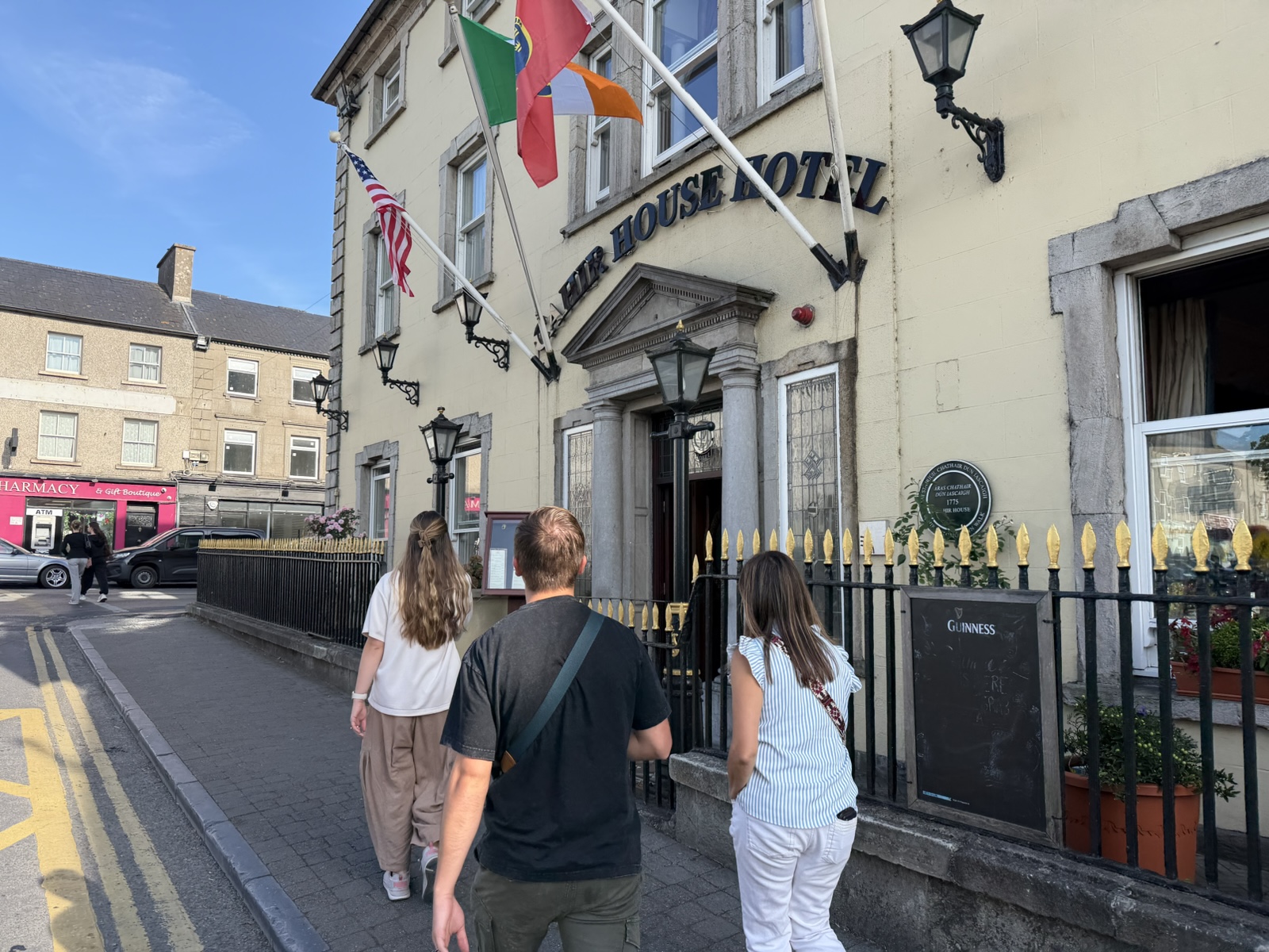
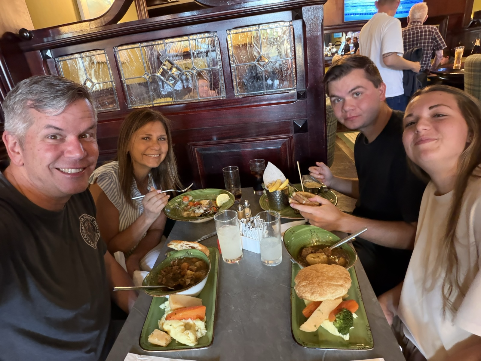
After our nice time there, we walked a couple blocks up to the Cahir House Hotel for dinner.
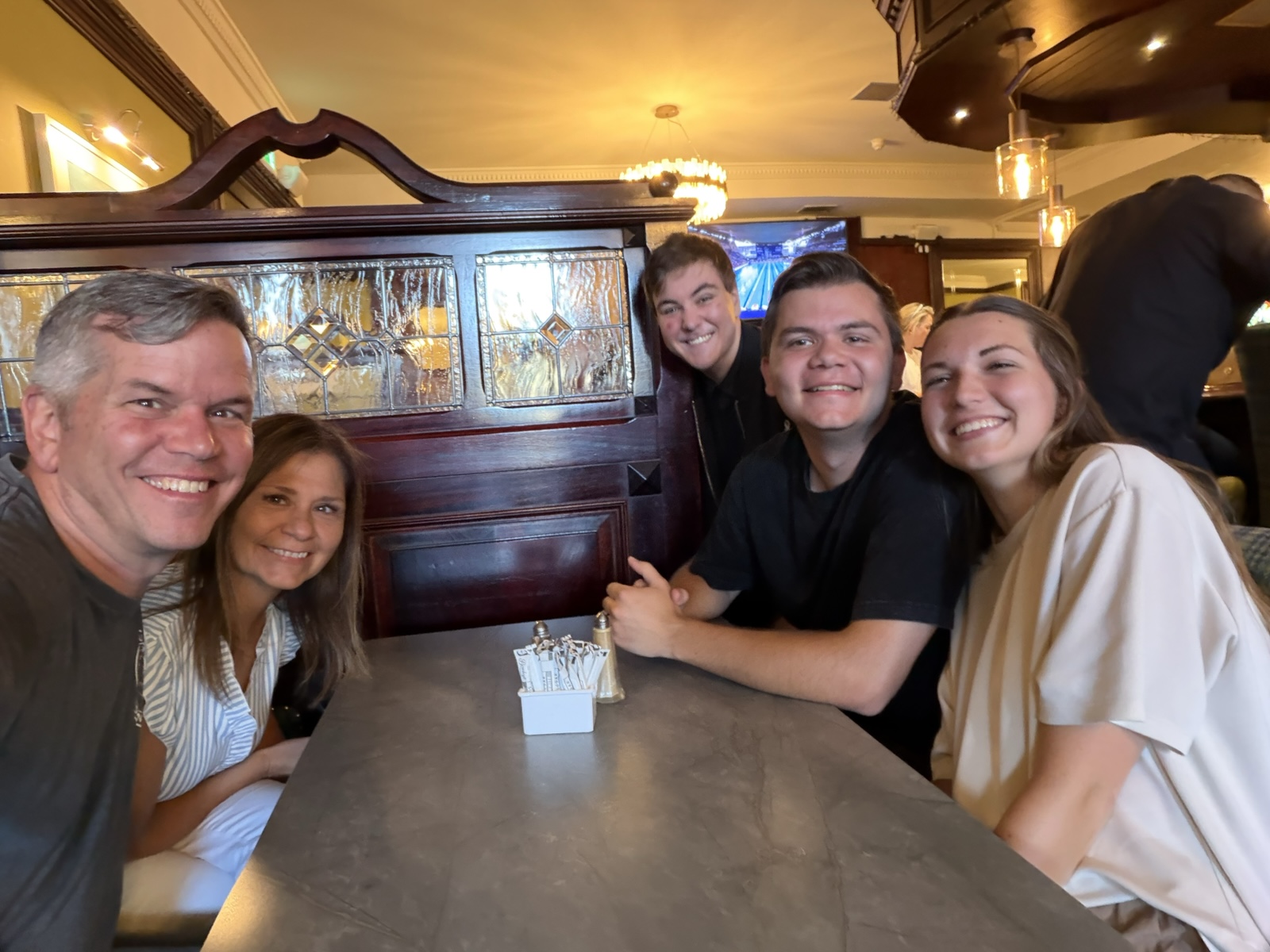
A magician named Kian Lafford came to our table and did some impressive card tricks.
One of the dishes I had wanted to try was the Guinness Irish Stew, which is a beef stew made hearty by cooking it with some beer (which gets cooked out of it, they say).
At that point, it was late enough that we decided not to bother with another stop or two we could have done.
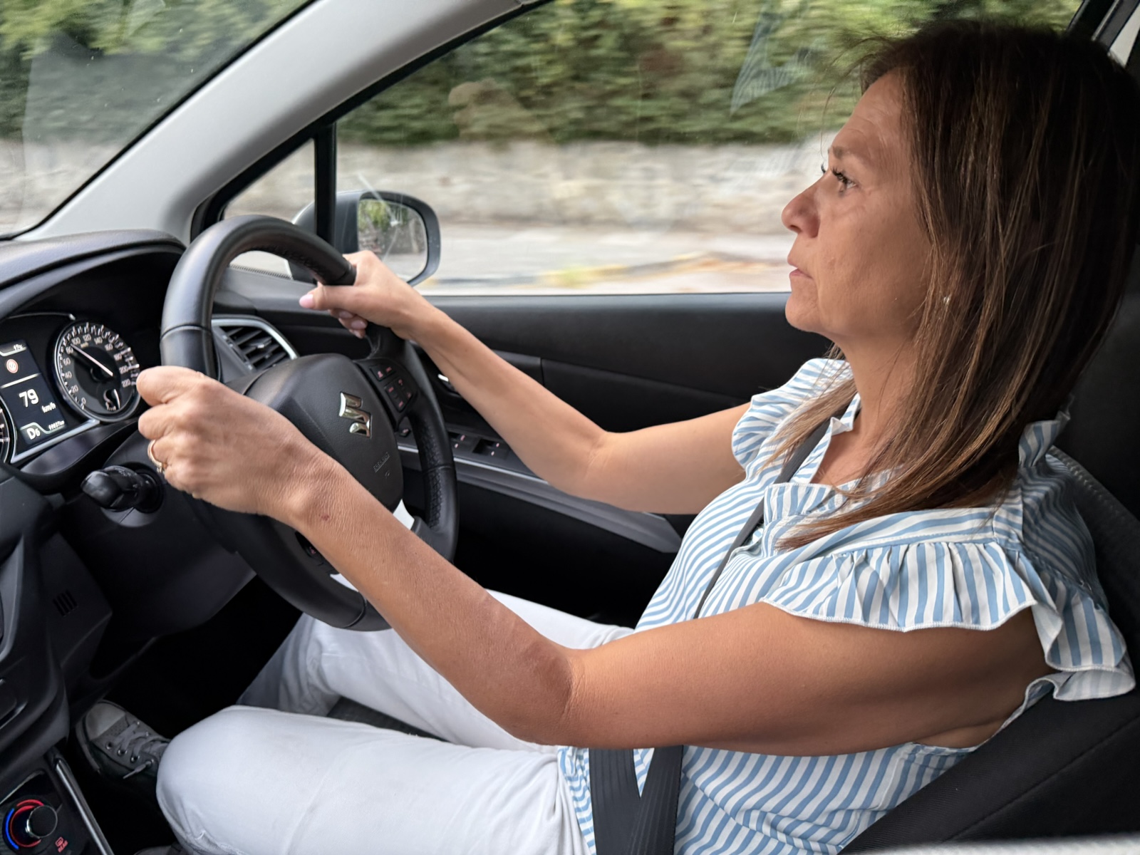
Linette took a turn driving the rest of the way to Killarney, and then we picked up some groceries and drove to our Home Exchange.
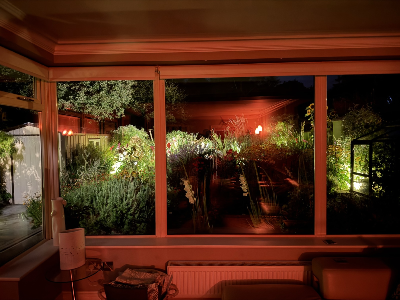
Unlike the rustic cabin feel of our first home exchange, this place was immaculate and modern, with a gorgeous garden out back, so it felt very luxurious.
In the next episode, we do the Dingle Peninsula.